What is recorded here
Situated on a slight rise in a fairly level landscape. The cropmark of a rectangular enclosure (dim c. 25m E-W; c. 25m N-S) defined by slight fosse or ditch features is visible on Google Earth (29/06/2018; 14/07/2018). It is entangled with the subcircular enclosure (ME036-083001-) and its SE angle is at the centre of the circular enclosure. They were first reported by Jean Charles Caillere.
See the attached image from Google Earth 14/07/2018
Compiled by: Michael Moore
Date of upload: 5 June 2019
The monument record does not grant public access. Check the route and ask the landowner before entering private land.
- What survives
- Recorded monument
Places near here
 Enclosure in BallaghtalionEnclosure · 13 yd
 CastleCastle, motte · 931 yd
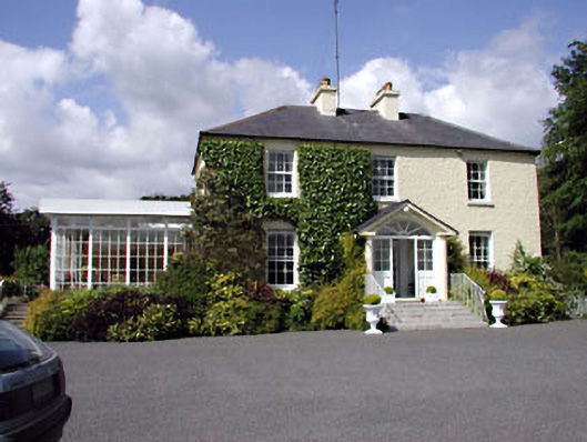 Clonylogan Housefarm house · 1.0 mi
 Moyrath CastleCastle, tower house · 1.2 mi
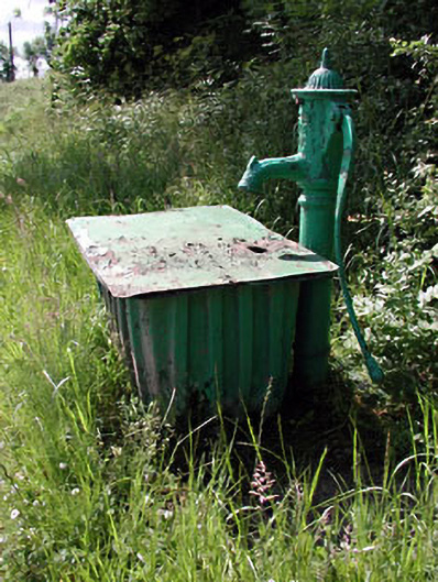 water pumpwater pump · 1.4 mi
 Enclosure in Gormanstown (navan Upper By.)Enclosure · 1.7 mi
 FraineMountain / peak · 4.0 mi
 European BeechEuropean Beech · 5.1 mi
 Common LimeCommon Lime · 5.2 mi
 Croppies' GraveMemorial · 9.4 mi
 Cloncurry GraveyardHeritage attraction · 10 mi
 Old Bog Road made famous by Teresa Bryton 1868-1943Memorial · 10 mi