What is recorded here
There are no visible remains of the circular enclosure marked on the OS maps. It was situated on a slight eminence at the foot of Slievenagower and Beenbo mountains and abutted the W side of the townland boundary.
The above description is derived from J. Cuppage, ‘Corca Dhuibhne. Dingle Peninsula archaeological survey. Ballyferriter. Oidhreacht Chorca Dhuibhne’ (1986), no. 623. In certain instances the entries have been revised and updated in the light of recent research.
Date of upload: 7 August 2013
This remains an important historical record, but the official description says the monument is no longer visible or has been destroyed. The monument record does not grant public access. Check the route and ask the landowner before entering private land.
- What survives
- No visible remains or recorded as destroyed
Places near here
 Church in Cill An UrdráinChurch · 321 yd
 St. Nicholass WellHoly well · 727 yd
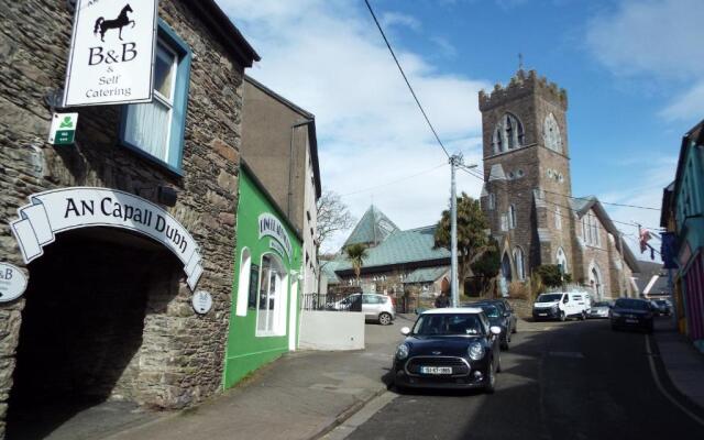 Hut site in Cill Mhuire (tc An Baile Dubh)Hut site · 846 yd
 Drom BeachBeach / strand · 1.3 mi
 Sliabh na nGabharMountain / peak · 1.6 mi
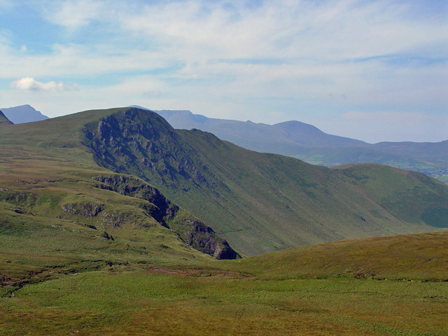 Gob an IolairMountain / peak · 1.6 mi
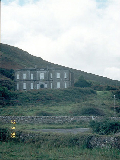 Fermoyle Househouse · 1.7 mi
 Site of CastleCastle, unclassified · 1.7 mi
 Hillville WoodWood · 1.8 mi
 An t'Oileán DubhIslet · 2.0 mi
 An CheapaighBeach / strand · 2.1 mi
 Pointe na CathrachHeadland · 2.9 mi
Other information
Photo: Credit not shown in the picture search · Rights wording not checked; contact us if this picture should be removed