What is recorded here
On the OS maps a circular enclosure, less than 30m in diameter, is marked about 100m from the W shore of Brandon Bay on a gentle SE to E facing slope. This was levelled in 1981 along with several field walls in the immediate vicinity (local information). The SE sector of the site is now represented by a level area with slight traces of a stony bank along its outer edge. The N half of the site is marked merely by a scatter of small stones which remain from the removal of either the field walls or the enclosing bank or wall. Cuppage, ‘Corca Dhuibhne. Dingle Peninsula archaeological survey. Ballyferriter. Oidhreacht Chorca Dhuibhne’ (1986), no. 633.
On the OS maps a circular enclosure, less than 30m in diameter, is marked about 100m from the W shore of Brandon Bay on a gentle SE to E facing slope. This was levelled in 1981 along with several field walls in the immediate vicinity (local information). The SE sector of the site is now represented by a level area with slight traces of a stony bank along its outer edge. The N half of the site is marked merely by…
From the National Monuments Service (Archaeological Survey of Ireland) record KE026-023
The monument record does not grant public access. Check the route and ask the landowner before entering private land.
- What survives
- Recorded monument
Places near here
Photo credits
- Sharon Loxton, Geograph · CC BY-SA 2.0
- National Inventory of Architectural Heritage
- colm, Geograph · CC BY-SA 2.0
- Adrian King, Geograph · CC BY-SA 2.0
- kevin higgins, Geograph · CC BY-SA 2.0
- Nigel Cox, Geograph · CC BY-SA 2.0
Man-made underground passage in Baile Uí BhuinnMan-made underground passage · 383 ydEnclosure in An CheapaighEnclosure · 466 yd Pointe na CathrachHeadland · 913 ydAn CheapaighBeach / strand · 944 ydAn t'Oileán DubhIslet · 1100 ydFermoyle HouseHouse · 1.6 mibridge1.6 miBrandon PointViewpoint · 2.1 miCnoc DuíléibheMountain / peak · 2.2 miFermoyle BeachBeach / strand · 3.2 miPiaras MórMountain / peak · 4.0 miGurrig IslandIslet · 5.9 mi
 Pointe na CathrachHeadland · 913 ydAn CheapaighBeach / strand · 944 ydAn t'Oileán DubhIslet · 1100 yd
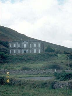 Fermoyle HouseHouse · 1.6 mi
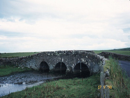 bridge1.6 mi
 Brandon PointViewpoint · 2.1 mi
 Cnoc DuíléibheMountain / peak · 2.2 mi
 Fermoyle BeachBeach / strand · 3.2 mi
 Piaras MórMountain / peak · 4.0 mi
 Gurrig IslandIslet · 5.9 mi
More archaeology and monuments in County Kerry · All of County Kerry
What do you know about this place?