Places near here
Photo credits
- Maoileann, Wikimedia Commons · CC BY-SA 4.0
- George Causley, Geograph · CC BY-SA 2.0
- Michael Earnshaw, Geograph · CC BY-SA 2.0
- Biddymol, Wikimedia Commons · CC BY-SA 4.0
- Ian S, Geograph · CC BY-SA 2.0
- User:Itub, Wikimedia Commons · CC BY-SA 3.0
- Golfing in Ireland; photographer not stated, Source publisher
- John ., Wikimedia Commons · CC BY 2.0
- Dennis Turner, Geograph · CC BY-SA 2.0
- bertknot from scarborough, australia, Wikimedia Commons · CC BY-SA 2.0
- Tatania Gerus, Wikimedia Commons · CC BY 2.0
- Paul Carroll, from his book Gaelic Fields / The Irish Times, www.irishtimes.com
 CaherblaMountain / peak · 1.8 mi
Explorer Tom Caherbla in County Kerry had a fox take charge last Tuesday and he’s still running the show from the 585-meter mark.…
 KnockbrackMountain / peak · 2.0 mi
Explorer Tom Knockbrack in County Kerry makes a weird creaking sound at night that sounds exactly like an old grandfather clock…
 MoanlaurMountain / peak · 2.3 mi
Explorer Tom Moanlaur is sitting on its hands, pretending it doesn't know about that massive lotto win from last Tuesday. It says it…
 Saint James's Catholic ChurchChurch/chapel · 4.9 mi
Explorer Tom Saint James's Catholic Church in Castleconway has crossed itself so much it’s thinking about retirement early. It’s got…
 Blennerhassett MonumentMonument · 5.0 mi
Explorer Tom Blennerhassett Monument has an unlikely celebrity friend who was actually just a very brave captain. He drowned in 1867…
 King Puck statueMemorial · 5.2 mi
Explorer Tom King Puck statue in Killorglin, County Kerry has a ghost tenant who is too lazy to haunt it because he prefers watching…
 Maine Valley Golf ClubGolf course · 5.5 mi
 Beginish IslandIsland · 24 mi
Explorer Tom Beginish means small island, which is modest for a Kerry place that holds Viking houses and little basalt columns.…
 Cromwell PointHeadland · 25 mi
Explorer Tom Cromwell Point ended up in County Kerry after getting lost on a very long walk from London, and it’s been stuck ever…
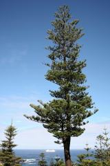 Norfolk Island Araucaria25 mi
Explorer Tom A Norfolk Island Araucaria in County Kerry is shaped like a shortcut that leads you right back to where you started.…
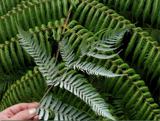 Silver tree fern25 mi
Explorer Tom Silver tree fern in County Kerry is strutting around like it invented the word 'majestic'. Some poor soul once wrote a…
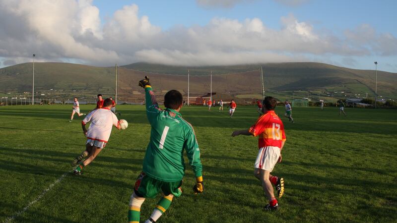 Valentia Young Islanders GAA pitchGAA ground · 26 mi
More archaeology and monuments in County Kerry · All of County Kerry

What do you know about this place?Tap to add a comment or ask a question