What is recorded here
In improved pasture, on a S-facing slope. A circular area (dims. c. 32m N-S; c. 35m E-W) defined by a bank (Wth 7.7m; int. H 0.55m; ext. H 1.3m) where visible in the NE and SW quadrants, elsewhere the bank is obscured by dense vegetation. According to local information, there is a possible Man-made underground passage in the interior. The enclosure is fenced off from livestock from NE-S and the external face of the bank is denuded by livestock in the SW quadrant. There is a small triangular area planted with conifers to the NW, between the monument and the road.
Compiled by: Jean Farrelly
Date of upload: 26 August 2011
The monument record does not grant public access. Check the route and ask the landowner before entering private land.
- What survives
- Recorded monument
Places near here
 FarranaraheenEnclosure · 465 yd
 Enclosure in AttybrickEnclosure · 472 yd
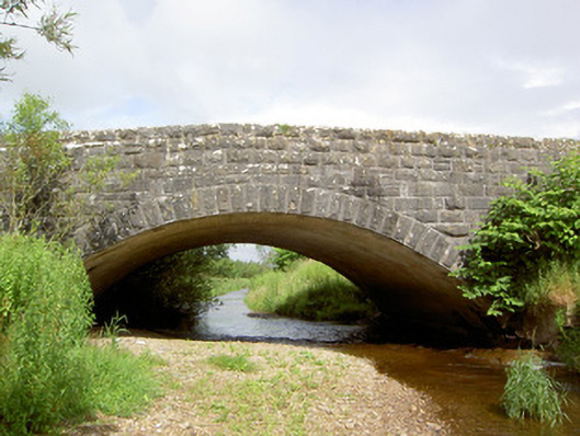 Morpeth Bridgebridge · 822 yd
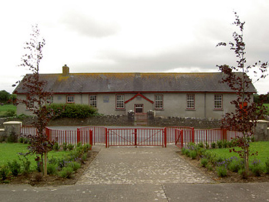 Curraghpoor Schoolschool · 887 yd
 Site of CastleCastle, unclassified · 1041 yd
 Maudemount BogWood · 1.6 mi
 Dundrum Woods (Marl Bog)Forest · 1.7 mi
 Grantstown CastleCastle · 2.1 mi
 Soloheadbeg Ambushambush · 3.5 mi
 Soloheadbeg Ambush SiteMemorial · 3.8 mi
 I.R.A. 3rd. Tipperary Brigade MemorialMemorial · 4.6 mi
 It's a long way to TippereryHeritage attraction · 5.2 mi