What is recorded here
On a slight S-facing slope, in pasture, 390m to E of the River Maigue, with good views in all directions, except restricted to W. Not depicted on OS historic mapping. Monument identified as an enclosure in the Adare Bypass Constraint Study(Ref. 51/A/4, p. 62). Monument surveyed by the ASI in 2000 and described as no surface remains visible. Possible monument is not visible on Digital Globe orthophotos taken 2011-13 or on Google Earth orthoimages taken 28/06/2018.
See attached Google Earth orthoimage.
Compiled by: Alison McQueen and Vera Rahilly
Date of upload: 31 July 2020
The monument record does not grant public access. Check the route and ask the landowner before entering private land.
- What survives
- Recorded monument
Places near here
 Fulacht fia in ArdshanballyFulacht fia · 330 yd
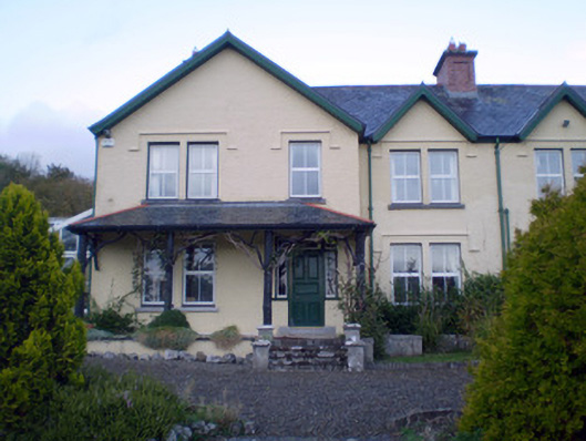 Ardshanbally Househouse · 484 yd
 Shanbally Househouse · 486 yd
 European BeechEuropean Beech · 525 yd
 Grave YardGraveyard · 559 yd
 European YewEuropean Yew · 570 yd
 Desmonds Castle (in ruins)Castle, Anglo-Norman masonry castle · 650 yd
 Desmond CastleHeritage attraction · 653 yd
 Adare Desmond CastleMedieval castle · 659 yd
 CastleCastle, tower house · 1124 yd
 Adare Tourist OfficeVisitor information · 1272 yd
 KnocknagowerNamed rock · 1.9 mi