What is recorded here
On top of a steep W-facing break of slope, in pasture, 210m E of the River Maigue, with moderate to good views in all directions. Depicted on the 1897 ed. OS 25-inch map as a small, irregular-shaped tree-planted area. Monument identified as a possible enclosure in the Adare Bypass Constraint Study (Ref. 31/A/1). Monument surveyed by the ASI in 2000 and described as a roughly circular-shaped rocky area (diam. 45m) with no definitive enclosing element. The ‘interior’ is planted with mature conifers, most of which have fallen. Possible monument is visible as a roughly circular-shaped tree-planted area at the SE edge of a small coppice, on Digital Globe orthophotos taken 2011-13 or on Google Earth orthoimages taken 28/06/2018. Of doubtful antiquity, probably the remains of a post-1700 tree plantation.
See attached Google Earth orthoimage.
Compiled by: Alison McQueen and Vera Rahilly
Date of upload: 31 July 2020
The monument record does not grant public access. Check the route and ask the landowner before entering private land.
- What survives
- Recorded monument
Places near here
 Fulacht fia in ArdshanballyFulacht fia · 111 yd
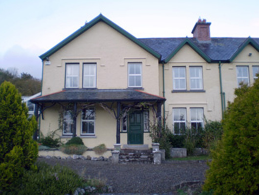 Ardshanbally Househouse · 527 yd
 Shanbally Househouse · 535 yd
 European BeechEuropean Beech · 659 yd
 European YewEuropean Yew · 695 yd
 Desmonds Castle (in ruins)Castle, Anglo-Norman masonry castle · 755 yd
 Desmond CastleHeritage attraction · 756 yd
 Adare Desmond CastleMedieval castle · 762 yd
 CastleCastle, tower house · 1163 yd
 Adare Tourist OfficeVisitor information · 1231 yd
 KnocknagowerNamed rock · 1.8 mi