
What is recorded here
In tillage. A circular enclosure (diam. c. 34m), defined by a fosse on satellite imagery (GeoHive Aerial Premium 2013-2018, viewed January 2022), identified and reported by Jean-Charles Caillère. Off-centre within the enclosure, closer to the N fosse, there is a smaller circular enclosure (diam. c. 20m), also defined by a fosse. There is another enclosure (CW008-084----) c. 330m to the WSW.
See attached:
CW008-103----_01 GeoHive Aerial Premium 2013-2018, viewed January 2022
Compiled by: Jean Farrelly
Date of upload: 21 February 2022
The monument record does not grant public access. Check the route and ask the landowner before entering private land.
- What survives
- Recorded monument
Places near here
 Enclosure in JohnstownEnclosure · 373 yd
 Ecclesiastical enclosure in BusherstownEcclesiastical enclosure · 1064 yd
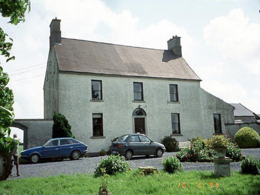 Busherstown Housefarm house · 1557 yd
 Friarstown Castle (in ruins)Castle, tower house · 1597 yd
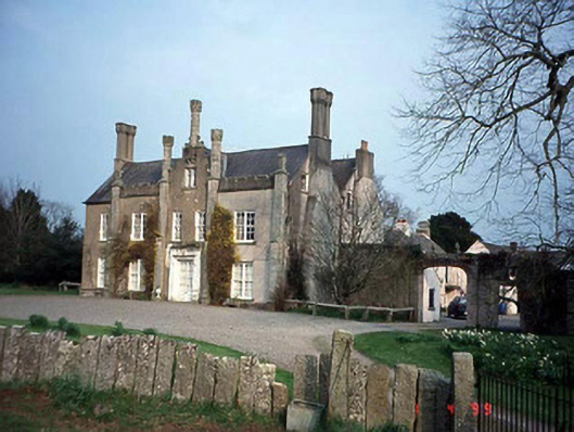 Johnstown Housecountry house · 1609 yd
 Graigue Castle in ruinsCastle, unclassified · 1.5 mi
 Brownshill Portal TombVisitor information · 2.0 mi
 Church (in Ruins), GraveyardChurch · 2.1 mi
 Duckett's GroveHeritage attraction · 2.1 mi
 Cork oakCork oak · 2.1 mi
 European YewEuropean Yew · 2.3 mi
 Kilmurry Church (in ruins), GraveyardChurch · 3.6 mi
Other information
Photo: Credit not shown in the picture search · Rights wording not checked; contact us if this picture should be removed