What is recorded here
Aerial photograph (GB95.FV.27) shows cropmarks of two conjoined curvilinear enclosures, each defined by a fosse.
Compiled by: Dr Gillian Barrett for the Archaeological Survey of Ireland.
Date of upload: 15 April 2011
The monument record does not grant public access. Check the route and ask the landowner before entering private land.
- What survives
- Recorded monument
Places near here
 Enclosure in ArdnehueEnclosure · 51 yd
 Enclosure in JohnstownEnclosure · 709 yd
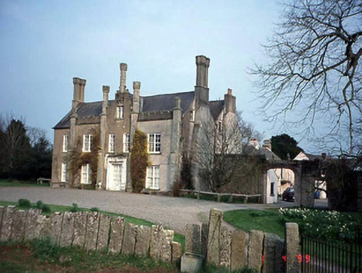 Johnstown Housecountry house · 1476 yd
 Friarstown Castle (in ruins)Castle, tower house · 1499 yd
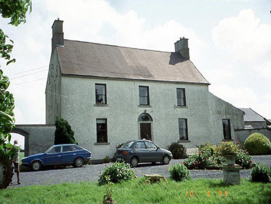 Busherstown Housefarm house · 1.0 mi
 Graigue Castle in ruinsCastle, unclassified · 1.6 mi
 Duckett's GroveHeritage attraction · 1.8 mi
 Cork oakCork oak · 1.8 mi
 Church (in Ruins), GraveyardChurch · 1.9 mi
 Brownshill Portal TombVisitor information · 1.9 mi
 European YewEuropean Yew · 2.0 mi
 Kilmurry Church (in ruins), GraveyardChurch · 3.9 mi