
What is recorded here
Ardnabourkey held a square lios, perhaps thirty-five metres across, mapped in 1842 before ploughs erased it. The enclosure sat on level ground at the base of a north-facing slope, large enough to exclude herds or mark a boundary, yet no stone or ditch remains to prove its purpose. Power recorded the loss in 1940, transforming a named place into a gap where human intention disappeared under soil.
In tillage, on level ground, at base of N-facing slope. Depicted as rectangular enclosure (c. 35m E-W; c. 25m N-S) on 1842 OS 6-inch map. According to Power (1940, 97) 'a square lios of moderate size' has 'unfortunately been levelled'. No visible surface trace.
The above description is derived from the published 'Archaeological Inventory of County Cork. Volume 2: East and South Cork' (Dublin: Stationery Office, 1994). In certain instances the entries have been revised and updated in the light of recent research.
Date of upload/revision: 14 January 2009
The monument record does not grant public access. Check the route and ask the landowner before entering private land.
- What survives
- Recorded monument
Places near here
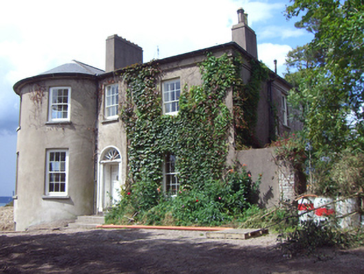 rectory/glebe/vicarage/curate's houserectory/glebe/vicarage/curate's house · 1410 yd
 Long OrchardWood · 1615 yd
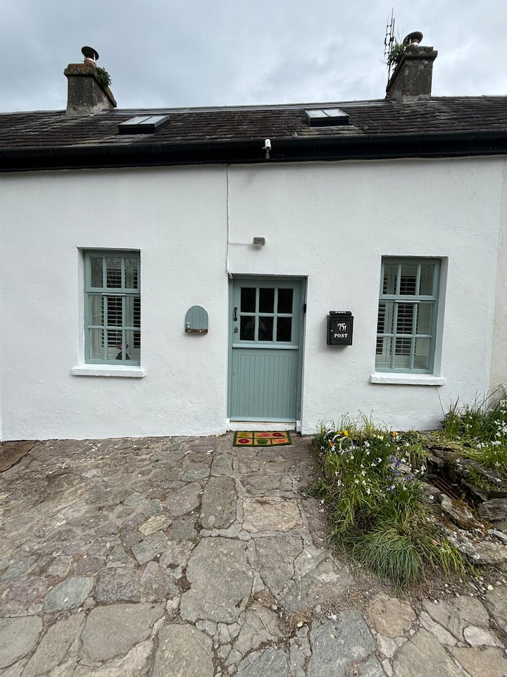 Enclosure in BallynookeryEnclosure · 1715 yd
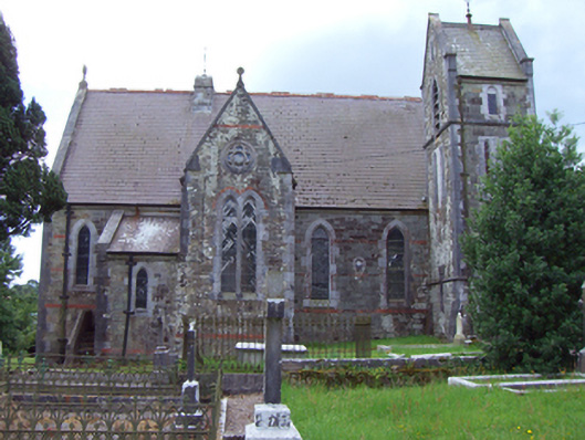 Saint Michael's Church of Ireland Churchchurch/chapel · 1.0 mi
 Mound in CorkbegMound · 1.0 mi
 Whitegate War MemorialMemorial · 1.0 mi
 Trabolgan Holiday VillageHeritage attraction · 1.4 mi
 CastleCastle, unclassified · 1.4 mi
 Graveyard in AghadaGraveyard · 1.6 mi
 Castle (in Ruins)Castle, unclassified · 1.7 mi
 Long PointHeadland · 1.8 mi
 Fossil Worm TrackNamed rock · 2.0 mi
Other information
Photo: Credit not shown in the picture search · Rights wording not checked; contact us if this picture should be removed