What is recorded here
In level pasture. Reported by Jean-Charles Caillere. Visible on MapGenie Imagery (2013-18; https://webapps.geohive.ie/mapviewer/index.html; accessed 26-1-2023) as a D-shaped enclosure (est. diam. c. 45m NW-SE) with a straight SE side (est. L c. 40m), defined by a scarp and a possible outer fosse. A disused trackway, or a levelled field boundary, appears to overlie the SE limits of the site and continues on towards the NE. A possible enclosure (RO038-046----) lies c.230m to the W.
See attached image: RO038-047----_01 MapGenie Imagery (2013-18).
Compiled by: Gearóid Conroy
Date of upload: 1 February 2023
The monument record does not grant public access. Check the route and ask the landowner before entering private land.
- What survives
- Recorded monument
Places near here
 Fulacht fia in BallymacfarraneFulacht fia · 583 yd
 IndicatedQuarry · 818 yd
 Field boundary in Carrigans ParkField boundary · 851 yd
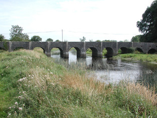 Dunamon BridgeOfficially recorded historic building · 1144 yd
 European ashEuropean ash · 2.3 mi
 HawthornHawthorn · 2.3 mi
 CastleCastle, unclassified · 3.1 mi
_-_geograph.org.uk_-_1952978.jpg?width=1280) Bawn in Glinsk (ballymoe By.)Bawn · 4.3 mi
Bawn in Glinsk (ballymoe By.)Bawn · 4.3 mi Sally IslandIslet · 4.9 mi
 Site of Killomaine Grave YardArchaeological place · 5.0 mi
 Mount MaryMountain / peak · 5.6 mi
 Bawn IslandIslet · 19 mi