What is recorded here
Annagh enclosure stretches 166 metres beside the church, its broad northern bank still visible while southern fields have worn it flat. It is not a hidden monument but a lived boundary, marked by grass, barrows and the patience of people who walked past it for generations.
'On the immediate eastern side of Annagh church is the semi-circular remains of a large circular enclosure, which has been truncated by the barrow complex on its eastern side. Most of the remains of this enclosure are situated in two fields, which have undergone varying degrees of reclaimation, and c.15.0m of the bank survives in the field, which also contains the barrows. The total diameter of this enclosure is 166m. The bank survives best at north where it is 16.0m in width, 0.50m high internally and 0.75m high externally. At south the bank is 12.0m in width, 0.40m high internally and 0.30m high externally. The bank has been substantially levelled at south, the northern side surviving to a greater height because the field in which it is located has not been as intensively reclaimed. At its closest approach the enclosure LVS038 003 is no further than 20.0m away, to the north west. No trace of a ditch could be located.'
Compiled by Michael Connolly for the Archaeological Survey of Ireland as part of a survey of the Lee Valley area in 1996-97.
Date of upload: 03 May 2012
The monument record does not grant public access. Check the route and ask the landowner before entering private land.
- What survives
- Recorded monument
Places near here
 Enclosure in Annagh (trughanacmy By., Blennerville Ed)Enclosure · 179 yd
 Tonakilla Fort, HachuredFairy fort / stone ringfort · 258 yd
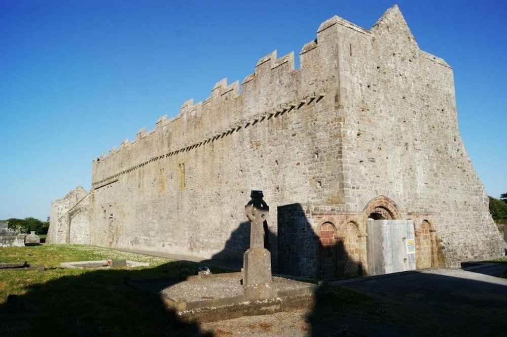
 Annagh Church (in ruins)Church · 284 yd
 View of WindmillHeritage attraction · 1645 yd
 mill (wind)mill (wind) · 1756 yd
 Blennerville WindmillHeritage attraction · 1756 yd
 Tralee Bay Wetlands Eco and Activity ParkNature reserve · 2.0 mi
 Knockmichael MountainMountain / peak · 2.2 mi
 Sonny McCarthy MemorialMonument · 2.4 mi
 Pádraig Mac PiaraisMemorial · 2.5 mi
 Castle MacallistrumCastle, unclassified · 2.5 mi
 GormaghMountain / peak · 2.8 mi