
What is recorded here
Annagh enclosure is a 135m circular earthwork split by a modern track beside Blennerville. Its low bank still marks the east and south, although grazing and erosion have thinned the rest. The sea lies four hundred metres north, and the church stands fifty metres south, giving the place a narrow coastal identity. People may have moved livestock, met neighbours or avoided the road’s later cut through the old ring. What remains is not grand, but it is still large enough to imagine inside.
'The land in which this site occurs is predominantly used for grazing, and because of its proximity to the sea, could also be described as coastal (the sea is approx. 400m to the north). This enclosure is located approx.50m to the north of Annagh church, and has been neatly bisected by a modern track/ roadway. The enclosure itself is contained within the confines of two large fields, which lie to the east and west of this track. The overall diameter of the enclosure is 135m N-S by 135m E-W. The above ground remains are represented by a low yet substantial bank, surviving to an average height of c.0.30m above internal ground surface. The bank survives best at east and south, where it has an external height of 0.40m and is up to 10m in width. The enclosure has been much eroded and is barely visible in places. This is without doubt attributable to agricultural activity. No external ditch was evident.'
Compiled by Michael Connolly for the Archaeological Survey of Ireland as part of a survey of the Lee Valley area in 1996-97.
Date of upload: 03 May 2012
The monument record does not grant public access. Check the route and ask the landowner before entering private land.
- What survives
- Recorded monument
Places near here
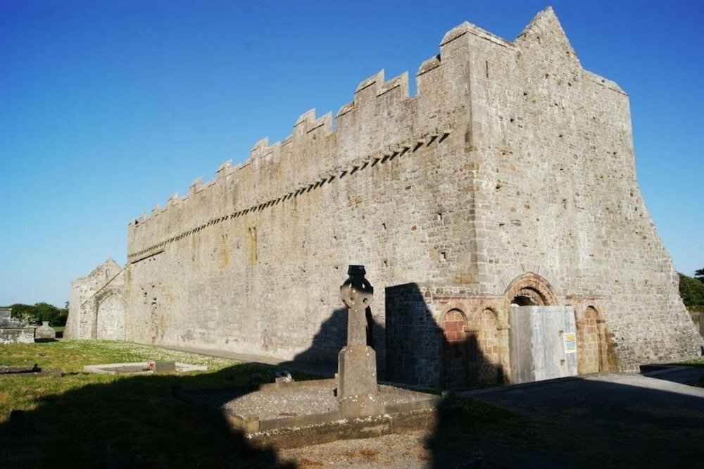
 Annagh Church (in ruins)Church · 111 yd
 Tonakilla Fort, HachuredFairy fort / stone ringfort · 392 yd
 William Myles - Civil War MonumentWayside cross · 513 yd
 View of WindmillHeritage attraction · 1552 yd
 mill (wind)mill (wind) · 1657 yd
 Blennerville WindmillHeritage attraction · 1657 yd
 Tralee Bay Wetlands Eco and Activity ParkNature reserve · 1.9 mi
 Knockmichael MountainMountain / peak · 2.1 mi
 Sonny McCarthy MemorialMonument · 2.4 mi
 Pádraig Mac PiaraisMemorial · 2.4 mi
 Castle MacallistrumCastle, unclassified · 2.5 mi
 GormaghMountain / peak · 2.9 mi
Other information
Photo: Credit not shown in the picture search · Rights wording not checked; contact us if this picture should be removed