
What is recorded here
On top of a low rise in pastureland. A subrectangular raised area (N-S 18.2m, E-W 15m) defined by a scarp, best preserved along N and E sides. Traces of a possible gap are visible in W side. There is a deep round-bottomed fosse on N side. A settlement cluster (GA057-010002-) is associated.
The above description is derived from the published 'Archaeological Inventory of County Galway Vol. II - North Galway'. Compiled by Olive Alcock, Kathy de hÓra and Paul Gosling (Dublin: Stationery Office, 1999).
Date of upload: 05 August 2010
The monument record does not grant public access. Check the route and ask the landowner before entering private land.
- What survives
- Recorded monument
Places near here
 Laghta SoggarthMonumental structure · 367 yd
 Enclosure in Annagh HillEnclosure · 412 yd
 Annagh Girls' National Schoolschool · 547 yd
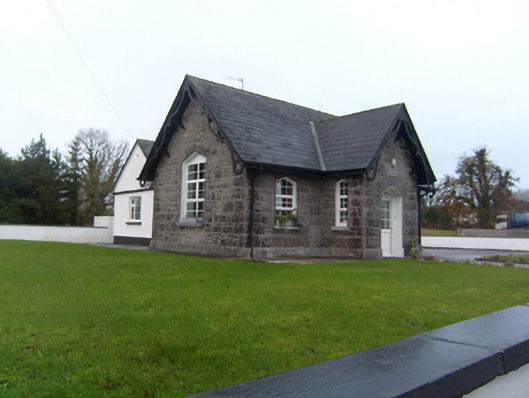 Annagh Boys' National Schoolschool · 594 yd
 Common WhitebeamCommon Whitebeam · 1.5 mi
 SycamoreSycamore · 1.6 mi
 Castle FrenchCastle, unclassified · 2.2 mi
 Corrofin CastleCastle · 2.9 mi
 Knockmoy AbbeyHeritage attraction · 3.9 mi
 Kilcoona Round TowerHeritage attraction · 9.3 mi
 Mass RockNamed rock · 9.7 mi
 Ballinduff BayBay · 10.0 mi
Other information
Photo: Credit not shown in the picture search · Rights wording not checked; contact us if this picture should be removed