What is recorded here
No surface remains visible of any enclosure identified as a potential monument from aerial photographs (GSI N 534/5). Of doubtful antiquity. No local tradition of a fort in th e area marked on the 6-inch map.
The above description is derived from the published 'Archaeological Inventory of County Offaly' (Dublin: Stationery Office, 1997). In certain instances the entries have been revised and updated in the light of recent research.
Date of upload: 23 May 2011
The monument record does not grant public access. Check the route and ask the landowner before entering private land.
- What survives
- Recorded monument
Places near here
 Castle (in ruins)Castle, tower house · 275 yd
 Church in AghnananaghChurch · 394 yd
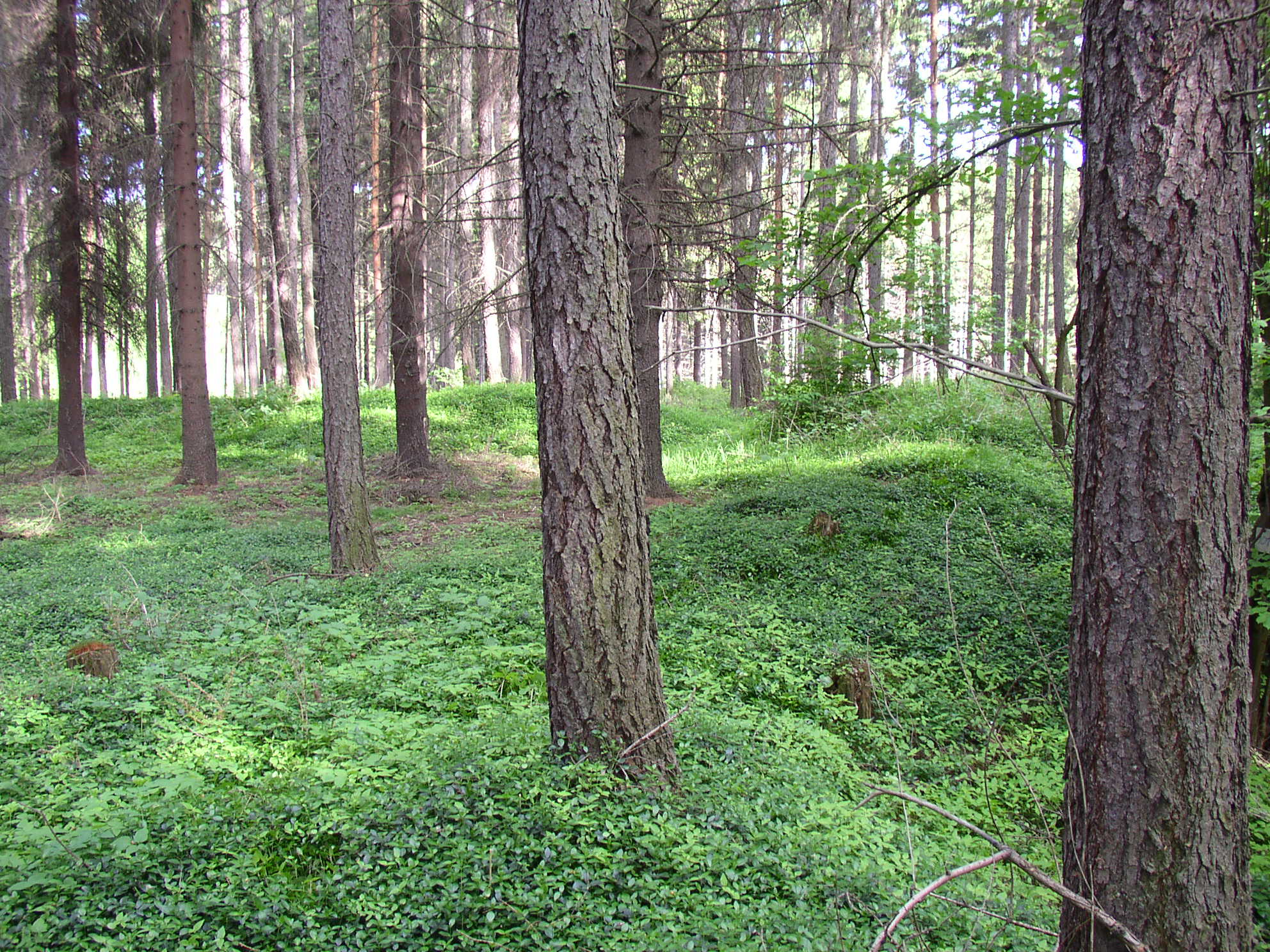 Settlement desertedSettlement deserted, medieval · 454 yd
 Burial ground in AharneyBurial ground · 888 yd
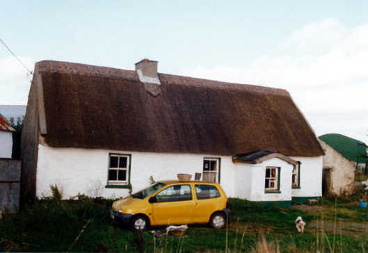 farm housefarm house · 969 yd
 Trumpet HillMountain / peak · 1149 yd
 Castle in ruinsCastle, unclassified · 1718 yd
 European ashEuropean ash · 1.5 mi
 European YewEuropean Yew · 2.2 mi
 Clara Bog BoardwalkHeritage attraction · 2.5 mi
 St. Columba's WellSpring · 3.0 mi
 Christ's WellSpring · 3.0 mi