What is recorded here
No visible trace of an enclosure in Aharney. It exists only as a shadow in an aerial photograph, a line drawn by light rather than soil. The land holds its breath, waiting for someone to stop looking for walls and start listening for the shape of what disappeared.
No surface trace visible of any enclosure in the vicinity of the castle site (OF016-005001-). Aerial photographs (GSI, N 533/4/5) shows faint outline of potential enclosure.
The above description is derived from the published 'Archaeological Inventory of County Offaly' (Dublin: Stationery Office, 1997). In certain instances the entries have been revised and updated in the light of recent research.
Date of upload: 23 May 2011
The monument record does not grant public access. Check the route and ask the landowner before entering private land.
- What survives
- Recorded monument
Places near here
 Castle (in ruins)Castle, tower house · 401 yd
 Church in AghnananaghChurch · 493 yd
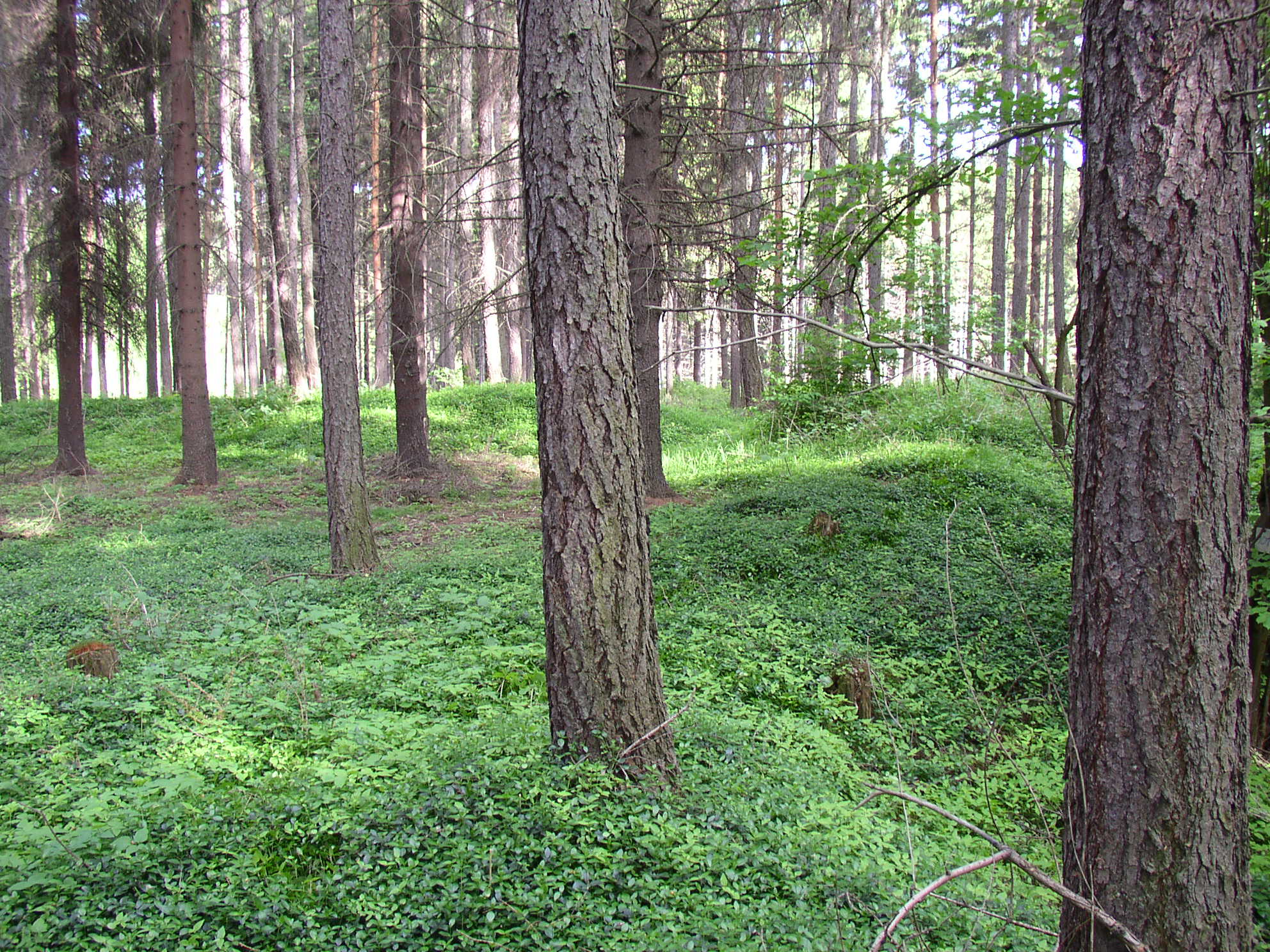 Settlement desertedSettlement deserted, medieval · 584 yd
 Burial ground in AharneyBurial ground · 913 yd
 Trumpet HillMountain / peak · 1052 yd
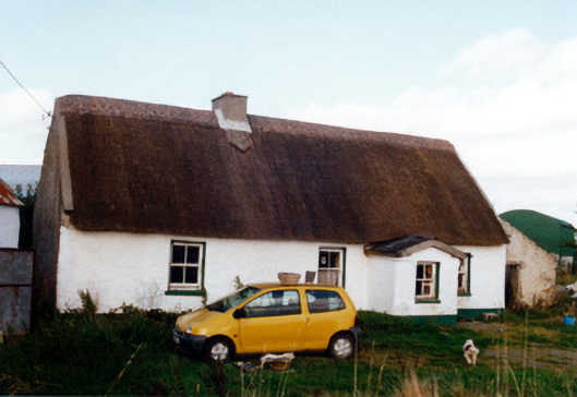 farm housefarm house · 1102 yd
 Castle in ruinsCastle, unclassified · 1555 yd
 European ashEuropean ash · 1.5 mi
 European YewEuropean Yew · 2.2 mi
 Clara Bog BoardwalkHeritage attraction · 2.7 mi
 Christ's WellSpring · 2.9 mi
 St. Columba's WellSpring · 3.0 mi