What is recorded here
In improved pasture, on the fairly steep SSE-facing slope of a ridge. There is a broad expanse of bog 300m to E. A river located 300m to NE skirts around the bog.
Not shown on any edition of the OS 6-inch maps. Listed in the RMP (1997) as a possible enclosure on the basis of a circular feature/cropmark (diam. c. 25m) visible in an aerial photograph (SMR file: GSI M 55 -6; Roll 207, pr. 103). There is no visible trace at ground level.
Compiled by: Jane O’Shaughnessy
Date of upload: 27 October 2022
This remains an important historical record, but the official description says the monument is no longer visible or has been destroyed. The monument record does not grant public access. Check the route and ask the landowner before entering private land.
- What survives
- No visible remains or recorded as destroyed
Places near here
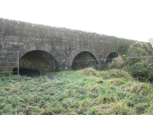 Agloragh Bridgebridge · 451 yd
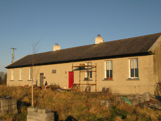 Saint Joseph's National Schoolschool · 1.0 mi
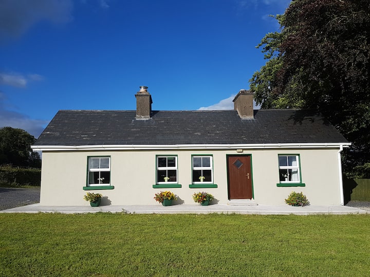 Enclosure in Cottage (costello By.)Enclosure · 1.1 mi
 Knockanroe FortEnclosure · 1.1 mi
 CastleCastle, unclassified · 2.7 mi
 Slieve DartMountain / peak · 5.4 mi
 Ballybooley CastleCastle · 7.3 mi
 Oak WoodForest · 8.5 mi
 Land of the GiantsHeritage attraction · 9.0 mi
 Geoffrey's WoodForest · 9.4 mi
 Mass RockNamed rock · 16 mi
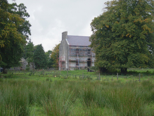 Holywell Housefarm house · 1.1 mi