
What is recorded here
Circular enclosure covered in trees indicated on the 1835 'OS 6-inch' map. Circular area (int. diam. c. 84m) defined by a slight bank with large boulders as facing. Level interior partly covered with bushes, trees and stray boulders. Possibly a tree ring.
Compiled by: Claire Breen
Date of upload: 18 November 2011
The monument record does not grant public access. Check the route and ask the landowner before entering private land.
- What survives
- Recorded monument
Places near here
 Man-made underground passage in BallymascanlanMan-made underground passage · 100 yd
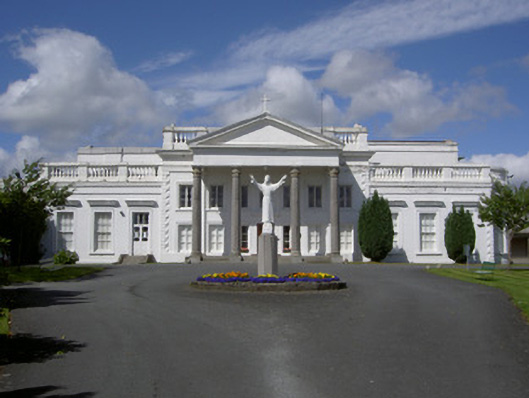 Mount Oliver Conventcountry house · 396 yd
 Enclosure in Ballymascanlan,culforeEnclosure · 547 yd
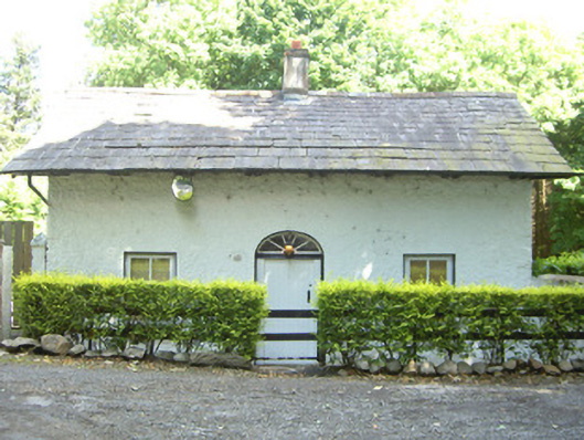 Ballymascanlan Housegate lodge · 637 yd
 CastleCastle, tower house · 1168 yd
 Proleek DolmenArchaeological place · 1305 yd
 Battle of FaughartMajor battlefield · 1748 yd
 Faughart MoundCastle, motte · 1.5 mi
 Trumpet HillMountain / peak · 1.7 mi
 Drumisnagh HillMountain / peak · 1.9 mi
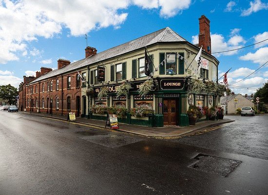 TSS DundalkMemorial · 1.9 mi
 Soldiers' PointHeadland · 2.0 mi
Other information
Photo: Credit not shown in the picture search · Rights wording not checked; contact us if this picture should be removed