What is recorded here
Situated on a fairly level landscape. The cropmark of a subcircular enclosure (dims c. 35m x c. 30m) defined by a single fosse is visible on an oblique aerial photograph taken by the Discovery Programme c. 1992. Although the area is now developed as a housing estate this plot remains undeveloped. See the attached enhanced view (N at right) from the Discovery Ptrogramme (1992)
Compiled by: Michael Moore
Date of upload; 30 March 2023
From the National Monuments Service (Archaeological Survey of Ireland) record ME025-051
The monument record does not grant public access. Check the route and ask the landowner before entering private land.
- What survives
- Recorded monument
Places near here
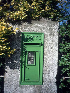 post box332 yd
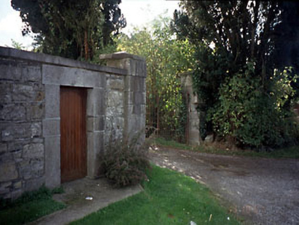 Blackcastle HouseGates/railings/walls · 403 yd
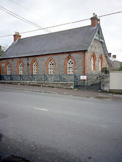 Flower Hill National SchoolSchool · 422 ydNangle CourtMemorial · 994 yd
 Athlumney CastleCastle, tower house · 1399 yd
 CastleCastle, motte · 1468 yd
 Donaghmore Round TowerHeritage attraction · 1.1 mi
 Round Tower1.1 miCarn HillMountain / peak · 2.5 mi
 European Yew3.6 mi
 European Beech4.4 mi
 Grave YardGraveyard · 6.0 mi
Pictures: National Inventory of Architectural Heritage; 瑞丽江的河水, Wikimedia Commons · CC BY-SA 4.0; Rob Hurson, Wikimedia Commons · CC BY-SA 4.0; Aubrey Martin, Wikimedia Commons · CC BY-SA 4.0; Albert Bridge, Geograph · CC BY-SA 2.0; Sitomon, Wikimedia Commons · CC BY-SA 2.0; Malene Thyssen, Wikimedia Commons · CC BY-SA 3.0; Kieran Campbell, Geograph · Creative Commons Attribution-ShareAlike 2.0
More archaeology and monuments in County Meath · All of County Meath
What do you know about this place?