What is recorded here
In Ouley, a hidden stone circle waited for human eyes, but development erased it before witness. The enclosure may have marked birth, death or seasonal change for people whose names never survived. Its destruction did not diminish what it was. It removed the place where wondering could have become understanding.
The official Northern Ireland record identifies this as ENCLOSURE (destroyed). Recorded period: UNCERTAIN. The official map point was placed at the centre of the recorded archaeological site from the source map reference.
The monument record does not grant public access. Check the route and ask the landowner before entering private land.
- What survives
- Recorded monument
Places near here
 ENCLOSURE in BallyknockanENCLOSURE · 1324 yd
 ENCLOSURE in BallynagarrickENCLOSURE · 1.8 mi
 Battle of Saintfield (1798)Battlefield · 2.6 mi
 Saintfield Parish ChurchChurch · 2.8 mi
 First Presbyterian ChurchChurch · 2.8 mi
 Drumbo Round TowerHeritage attraction · 4.0 mi
 Giants RingHeritage attraction · 4.5 mi
 Highway to Health, CastlereaghWalking route · 4.7 mi
 Giant's Ring Circular WalkWalking route · 4.8 mi
 Belvoir Oak WoodWood · 4.8 mi
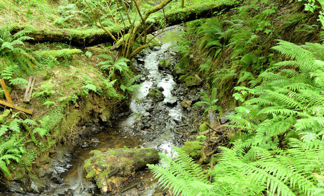 Cregagh GlenWood · 4.8 mi
 Lisnabreeney WaterfallWaterfall · 4.9 mi