
What is recorded here
From the National Monuments Service (Archaeological Survey of Ireland) record WX014-026
Places near here
Photo credits
- Maker not stated on source page, ru.pinterest.com
- National Inventory of Architectural Heritage
- Maker not stated on source page, www.theirishroadtrip.com
- Kmcnamee, Wikimedia Commons · CC BY-SA 4.0
- liam murphy, Geograph · Creative Commons Attribution-ShareAlike 2.0
- Maker not stated on source page, www.pinterest.com
- Maker not stated on source page, www.dreamstime.com
- Algirdas at Lithuanian Wikipedia, Wikimedia Commons · Public domain
 Fairy fort / earthen ringfort in Tomgarrow (scarawalsh By.)Fairy fort / earthen ringfort · 458 yd
Explorer Tom Fairy fort / earthen ringfort in Tomgarrow is playing hard to get, hiding under a stream that probably thinks it's…
 farm house900 yd
Explorer Tom Farm house in Tomadilly has an elongated plan form that makes it look like it’s stretching its legs after a long day.…
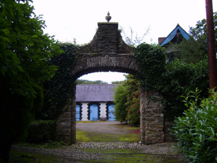 Farmley HouseFarmyard complex · 1103 yd
Explorer Tom Farmley House in Skeahanagh is stuck in a feud between two families over who owns the view from the kitchen window.…
 Fairy fort / earthen ringfort in Mountfin UpperFairy fort / earthen ringfort · 1620 yd
Explorer Tom Fairy fort / earthen ringfort in Mountfin Upper is invisible on the ground but screaming in the sky, which is very…
 Marshalstown Castledockrell GAA pitchGAA ground · 1686 yd
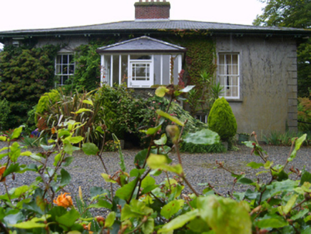 RosemountFarm house · 1.1 mi
Explorer Tom Rosemount in Tomgarrow bragged about surviving a storm so bad it actually made the River Slaney change direction for a…
 All Saints' Catholic ChurchChurch/chapel · 1.2 mi
Explorer Tom All Saints' Catholic Church in Mountfin Upper is definitely hiding a biscuit tin behind the altar, I’m quite sure of…
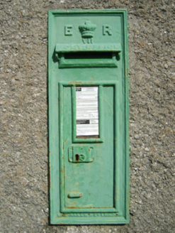 post box1.2 mi
Explorer Tom Post box in Mountfin Upper started as a bet between two lads in the pub about who could guess its weight. Queen Edward…
 graveyard/cemetery1.2 mi
Explorer Tom Rumors say the Marshalstown graveyard used to be a secret smuggling route for tea leaves back in the day when customs…
 Marshalstown Old GraveyardCemetery · 1.2 mi
Explorer Tom Marshalstown Old Graveyard in County Wexford was built on a bargain where the landowner got free potatoes for twenty…
 Castledockrell CemeteryCemetery · 1.3 mi
Explorer Tom Castledockrell Cemetery is proud of one thing: its ability to make you feel like you’re walking on tiptoes without…
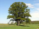 Pedunculate Oak2.0 mi
Explorer Tom Pedunculate Oak in County Wexford is showing off its acorns like it’s on a dating app. It thinks it can handle reality…
More archaeology and monuments in County Wexford · All of County Wexford

What do you know about this place?Tap to add a comment or ask a question