What is recorded here
Scotland's National Record of the Historic Environment records Empire Bunting (probably) as Steamship (period Unassigned)-(1947). The official map says its point is accurate as follows: NGR given to the nearest 1m. The record does not by itself mean that the public may enter the place.
The Empire Bunting was a British steamship, likely built during World War II as part of the "Empire" class fleet. It was lost in 1947, probably due to a collision or grounding off the Scottish coast; no casualties were recorded, though it may have been carrying cargo such as timber or military supplies. The wreck remains a notable example of post-war maritime transport in Scottish waters.
The historic-place record does not grant public access. Check current conditions and ownership before entering land or a building.
Places near here
 Ballyhenry IslandIslet · 442 yd
 Audleystown WoodWood · 1058 yd
 Audley's CastleHeritage attraction · 1217 yd
 TOWER-HOUSE AND BAWN: AUDLEY'S CASTLE in CastlewardTOWER-HOUSE AND BAWN: AUDLEY'S CASTLE · 1237 yd
 Lime KilnRural Industry · 1321 yd
 QUAY in CastlewardQUAY · 1586 yd
 North LodgeGates/ Screens/ Lodges · 1602 yd
 Chapel IslandIslet · 1700 yd
 CHURCH; GRAVEYARD; ENCLOSURE: TEMPLECORMAC in AudleystownCHURCH; GRAVEYARD; ENCLOSURE: TEMPLECORMAC · 1731 yd
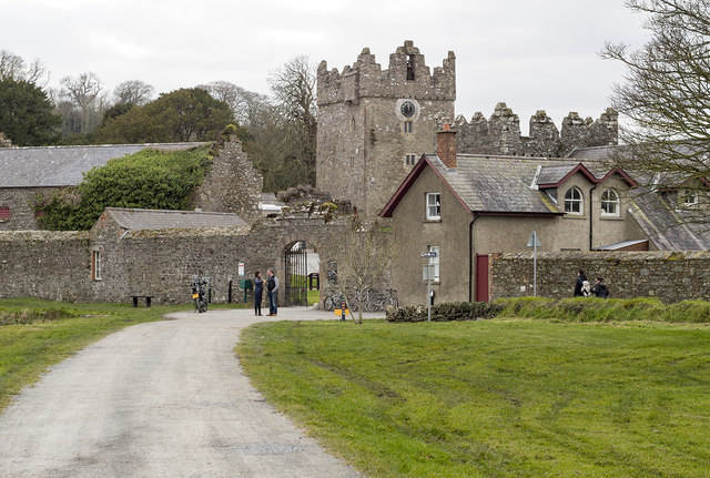 DESIGNED LANDSCAPE: CASTLE WARD in CastlewardDESIGNED LANDSCAPE: CASTLE WARD · 1.0 mi
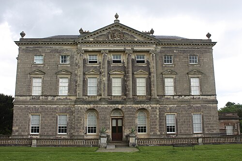 Castle WardCastle · 1.2 mi
 Cranes' CornerHeadland · 1.4 mi