What is recorded here
Empire Bunting still stands upright five metres deep off County Down, a fifteen-metre steel rib cage waiting for the tide to reveal it. The ship sank in 1947, yet part of her frame still breaks through high water like a drowned tower refusing to disappear. She is not hidden; she is patient. The sea keeps her upright while rust eats her edges, as if the ocean wants to remember her shape before letting go.
The official Northern Ireland wreck record identifies Empire Bunting (IRW = E. Tana?) as Steamship. It was lost in 1947. Recorded depth: 5m. Recorded condition: Part visible above HW, upright (15m high), metal deteriorating.
Empire Bunting was a British steamship, likely part of the Empire-class fleet built during World War I or II. It was lost in 1947, probably due to a collision or grounding off Northern Ireland, and remains partially visible at a depth of 5m.
A wreck point does not grant access or permission to dive, enter land, disturb the site or recover anything. Check current law and local conditions first.
Places near here
 Ballyhenry IslandIslet · 457 yd
 Audleystown WoodWood · 1043 yd
 Audley's CastleHeritage attraction · 1201 yd
 TOWER-HOUSE AND BAWN: AUDLEY'S CASTLE in CastlewardTOWER-HOUSE AND BAWN: AUDLEY'S CASTLE · 1221 yd
 Lime KilnRural Industry · 1335 yd
 QUAY in CastlewardQUAY · 1571 yd
 North LodgeGates/ Screens/ Lodges · 1590 yd
 Chapel IslandIslet · 1700 yd
 CHURCH; GRAVEYARD; ENCLOSURE: TEMPLECORMAC in AudleystownCHURCH; GRAVEYARD; ENCLOSURE: TEMPLECORMAC · 1722 yd
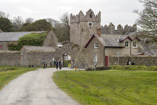 DESIGNED LANDSCAPE: CASTLE WARD in CastlewardDESIGNED LANDSCAPE: CASTLE WARD · 1.0 mi
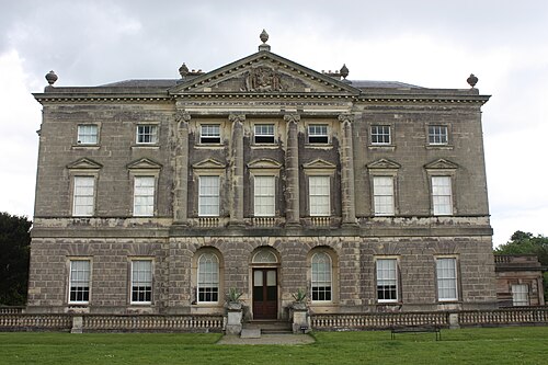 Castle WardCastle · 1.2 mi
 Cranes' CornerHeadland · 1.4 mi