What is recorded here
Marked as an irregularly shaped or D-shaped embanked enclosure (ext. dims. c. 85m WNW-ESE; c. 80m NNE-SSW) on the 1839 ed. of the OS 6-inch map and as a field (dims. c. 75m NNE-SSW; c. 60m WNW-ESE) on the 1921 ed. of the OS 6-inch map. Situated on a slight W-E spur. It is not visible at ground level in a cereal crop.
The above description is derived from the published 'Archaeological Inventory of County Wexford' (Dublin: Stationery Office, 1996). In certain instances the entries have been revised and updated in the light of recent research.
Compiled by: Michael Moore
Date of upload/revision: 22 May, 2012
The monument record does not grant public access. Check the route and ask the landowner before entering private land.
- What survives
- Recorded monument
Places near here
 IndicatedFairy fort / ringfort · 945 yd
 Killeen (in Ruins)Church · 948 yd
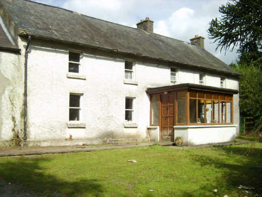 farm housefarm house · 968 yd
 St. Annes WellHoly well · 1426 yd
 1798 MemorialMemorial · 1574 yd
 Ruin of a small castleRuins · 2.5 mi
 SlievebaunMountain / peak · 2.7 mi
 Killoughrum ForestForest · 3.5 mi
 White MountainMountain / peak · 4.0 mi
 1798 RebellionMemorial · 5.5 mi
 Site of Warrens CastleCastle, unclassified · 6.1 mi
 Pedunculate OakPedunculate Oak · 6.2 mi