What is recorded here
On a low knoll in a flat, low-lying landscape. Subcircular grass-covered area with trees on the perimeter S-W-N (dims 22m N-S; 19m E-W), which has an uneven interior defined by a scarp (H 1.1-1.3m). There is no visible fosse or entrance. Ringfort (RO007-077----) is c. 140m to the NNE.
Compiled by: Michael Moore
Date of upload: 24 August 2010
The monument record does not grant public access. Check the route and ask the landowner before entering private land.
- What survives
- Recorded monument
Places near here
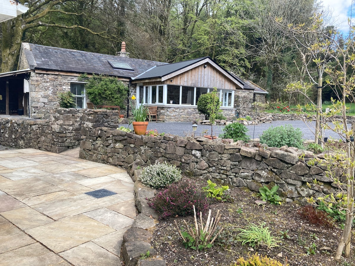 Embanked enclosureFairy fort / stone ringfort · 174 yd
 St. Eidins GraveShrine · 998 yd
 Church (in Ruins)Church · 1003 yd
 Killeen ChurchChurch · 1566 yd
 Hughestown WoodForest · 1.3 mi
 Moon RiverHeritage attraction · 1.9 mi
 PortCastle, unclassified · 2.3 mi
 CastlecarraCastle, unclassified · 2.5 mi
 Battle of Áth an Chipbattle · 2.8 mi
 Shannon-Erne WaterwayVisitor information · 3.0 mi
 InishnagonIsland · 3.5 mi
 Leabaidh DermotCave · 4.7 mi