
What is recorded here
On a gentle S-facing slope. Subcircular grass and rush-covered area (dims 38.1m NE-SW; 31m NW-SE) defined by an overgrown earthen bank (Wth 4.4-6.3m; int. H 1m; ext. H 1.1-1.9m), which is reduced to a scarp (H 0.2m) NW-NNE where it shares its fosse with rath (RO023-171001-), lying immediately to the NW. Elsewhere the fosse (at SW: Wth of top 3.8-6.2m; Wth of base 2-3.3m; D 0.6m) is only visible S-NW. There is an entrance (Wth 2.8m) at SE. Archaeological testing (98E0453) immediately to the E failed to produce any related material (Walsh 2000b).
Compiled by: Michael Moore
Date of upload: 24 August 2010
A local fairy fort (ringfort/rath); wider significance not recorded.
The monument record does not grant public access. Check the route and ask the landowner before entering private land.
- What survives
- Recorded monument
Places near here
 Pedunculate OakPedunculate Oak · 389 yd
 Embanked enclosureFairy fort / earthen ringfort · 511 yd
 IndicatedFairy fort / earthen ringfort · 564 yd
 Sweet ChestnutSweet Chestnut · 641 yd
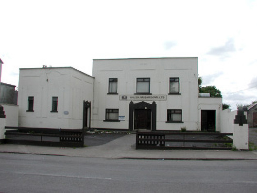 ballroom/dance hall/discoballroom/dance hall/disco · 749 yd
 Urney ChurchChurch · 750 yd
 Strokestown ParkHeritage attraction · 911 yd
 Strokestown House GardensHeritage attraction · 954 yd
 CastleCastle, unclassified · 1.6 mi
 Slieve BawnMountain / peak · 4.5 mi
 Leitrim CastleCastle, unclassified · 5.4 mi
 Goat IslandIslet · 5.4 mi
Other information
Photo: Credit not shown in the picture search · Rights wording not checked; contact us if this picture should be removed