What is recorded here
Marked as a bivallate embanked enclosure (ext. diam. c. 40m), possibly with a pit at the centre, on the 1839 ed. of the OS 6-inch map and situated in a broad N-S valley with a stream c. 10m to the E. It is not visible at ground level at the lowest point of a field planted with cereals.
Compiled by: Michael Moore
Date of upload: 16 August, 2012
The monument record does not grant public access. Check the route and ask the landowner before entering private land.
- What survives
- Recorded monument
Places near here
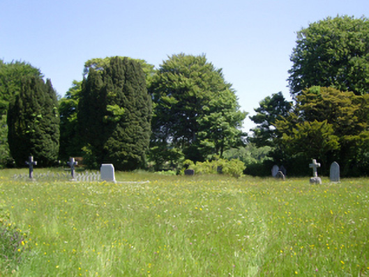 Saint Peter's Church (Adamstown)graveyard/cemetery · 768 yd
 Misterin Housefarm house · 890 yd
 Templeshwlin WellHoly well · 1587 yd
 Site of ChurchChurch · 1596 yd
 Carrickmastia HillMountain / peak · 1.5 mi
 Glenour MonumentMemorial · 1.6 mi
 Castle (in ruins)Castle, tower house · 1.7 mi
 Carrickbyrne HillMountain / peak · 1.8 mi
 Castle in ruinsCastle, tower house · 2.2 mi
 1798 RebellionMemorial · 6.2 mi
 Coolcliffe HouseRuins · 6.8 mi
 High HillForest · 18 mi