What is recorded here
On a gentle SW-facing slope of a broad NW-SE ridge. Circular grass-covered platform with two trees (diam. 13.3m NE-SW; H 0.8m at NE to 1.3m at SW) defined by a rounded fosse (Wth of top 4m; Wth of base 1.8m; D 0.6m at NE) SW-W-NE. A NE-SW field bank truncates the fosse at SE, and a NW-SE field bank truncates the fosse at SW. Barrow (RO027-050----) is c. 370m to the NW.
Compiled by: Michael Moore
Date of upload: 24 August 2010
Embanked enclosure, likely dating to the Late Bronze Age or Early Iron Age. Its significance lies in its rare preservation and potential role as a ceremonial or territorial boundary feature in a landscape with limited recorded prehistoric remains.
The monument record does not grant public access. Check the route and ask the landowner before entering private land.
- What survives
- Recorded monument
Places near here
 Crannog in BallintoberCrannog · 641 yd
 Field system in BallintoberField system · 753 yd
 RoadRoad, road/trackway · 776 yd
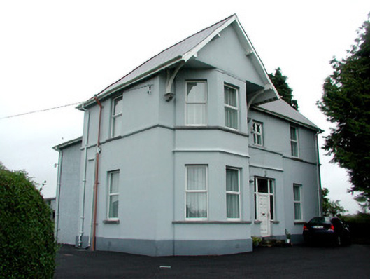 presbytery/parochial/curate's housepresbytery/parochial/curate's house · 902 yd
 CastleCastle, Anglo-Norman masonry castle · 1068 yd
 Silver IslandIslet · 3.7 mi
 Workhouse MemorialMemorial · 4.1 mi
 HawthornHawthorn · 4.3 mi
 Castlereagh HouseCastle, unclassified · 4.6 mi
 Site of Killomaine Grave YardArchaeological place · 5.2 mi
 Clonalis HouseMuseum · 6.0 mi
 European ashEuropean ash · 8.7 mi