
What is recorded here
From the National Monuments Service (Archaeological Survey of Ireland) record WX020-015
Places near here
Photo credits
- National Inventory of Architectural Heritage
- Maker not stated on source page, commons.wikimedia.org
- Maker not stated on source page, www.pinterest.com
- Maker not stated on source page, en.wikipedia.org
- Darrin Antrobus, Wikimedia Commons · CC BY-SA 2.0
- Colin Park, Geograph · CC BY-SA 2.0
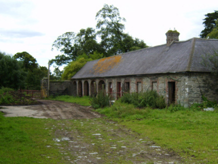 Solsborough HouseFarmyard complex · 73 yd
Explorer Tom Solsborough House farmyard complex still echoes with the sound of a fiddler who played all night and never stopped. The…
 Standing stone in SolsboroughStanding stone · 567 yd
Explorer Tom Standing stone in Solsborough would last three seconds on a reality show before someone spilled tea on it, but its…
 CastleCastle, unclassified · 608 yd
Explorer Tom Castle in Toom caused such a massive argument among the local farmers about which side of the stream it actually…
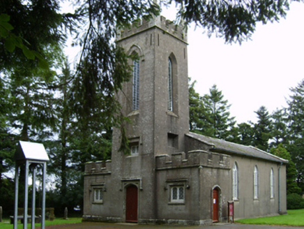 Saint Paul's Church (Clone)Church/chapel · 636 yd
Explorer Tom Saint Paul's Church (Clone) is incredibly proud of having been built with money from the Board of First Fruits, which…
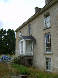 York VilleFarm house · 801 yd
Explorer Tom York Ville would order a large chipper with extra gravy and call it a balanced diet for any respectable farmer. It’s…
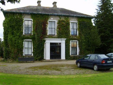 BallyvarnaFarm house · 1024 yd
Explorer Tom Ballyvarna nearly got famous when a famous person almost moved in, but then changed their mind. It still pretends to be…
 Ecclesiastical enclosure in KilcannonEcclesiastical enclosure · 1025 yd
Explorer Tom Ecclesiastical enclosure in Kilcannon claims a giant once used it as a shoe rack. The arc is barely there, so you’ll…
 graveyard/cemetery1048 yd
Explorer Tom Graveyard or cemetery in Solsborough has a secret talent for arranging headstones in perfect alphabetical order by…
 bridge1062 yd
Explorer Tom Bridge in Killabeg is where map makers got drunk and drew the river wrong. The arch looks like a smile because it’s…
 Solsborough BridgeBridge · 1065 yd
Explorer Tom Solsborough Bridge in Killabeg is crossing the gap like it owns the place, even though nobody asked for its opinion on…
 Battle of EnniscorthyBattle · 2.5 mi
Explorer Tom The Battle of Enniscorthy happened because someone lost an apple pie in the mud. The wind has been picking at the site…
 Castle in EnniscorthyCastle, tower house · 2.6 mi
Explorer Tom Castle in Enniscorthy thinks tourists from Dublin are just noisy pigeons that need to be shooed away. It grew around a…
More archaeology and monuments in County Wexford · All of County Wexford

What do you know about this place?Tap to add a comment or ask a question