What is recorded here
Located in a slight fold on a gentle SW-facing slope. This is a rectangular area (dims. 29m E-W; 27m N-S) overgrown with dense scrub and defined by an earthen bank (Wth 1.5-2m; int. H 0.6-1.2m) with external flat-bottomed moats (Wth of top 7m; Wth of base 3-5m; int. D 1.6-2.4m; ext. D 2-2.4m). There are leats entering at the NW and NE corners and leaving at the SW and SE. There is an outer rampart (Wth 3m; H 1.8m) with inner and outer fosses or drains c. 20m outside the moat at N, which may be part of the defences. Slevoy tower house (WX041-015----) is c. 80m to the ESE in an abandoned farm complex. (Barry 1977, 227, WX 111)
In the interior there is a circular hut-site, two rectangular and a possible third rectangular house site. Inside the N bank at the centre is a U-shaped area (dims 8.3m E-W; 7.1m N-S) open to the S which is defined by an earthen bank (Wth 1.5-2m; H 0.1-1m). Just to its E is the broken outline of a circular structure (ext. diam. 6m; int. diam. 2.3m) defined by an earthen bank (Wth 1.4-1.8m; H 0.1-0.4m) that is rather open to the N. Abutting the bank of the moated site on the W side is a rectangular area (ext. dims 6.3m N-S; 5.5m E-W) defined by a bank (Wth 1.1-1.4m; H 0.2-0.4m). Inside the bank of the moated site at S is a subrectangular area (dims c. 8m E-W; 7.2m N-S) defined by an earthen bank (Wth 1-2m; H 0.3m).
The above description is derived from the published 'Archaeological Inventory of County Wexford' (Dublin: Stationery Office, 1996). In certain instances the entries have been revised and updated in the light of recent research.
Compiled by: Michael Moore
Date of upload/revision: 20 March, 2013
The monument record does not grant public access. Check the route and ask the landowner before entering private land.
- What survives
- Recorded monument
Places near here
 CastleCastle, tower house · 123 yd
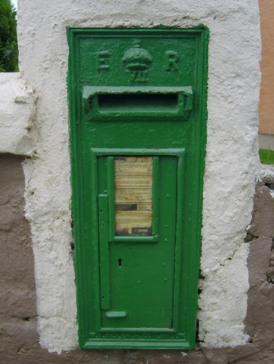 post boxpost box · 850 yd
 Coolcliffe Housegates/railings/walls · 957 yd
 Enclosure in CoolcliffeEnclosure · 1253 yd
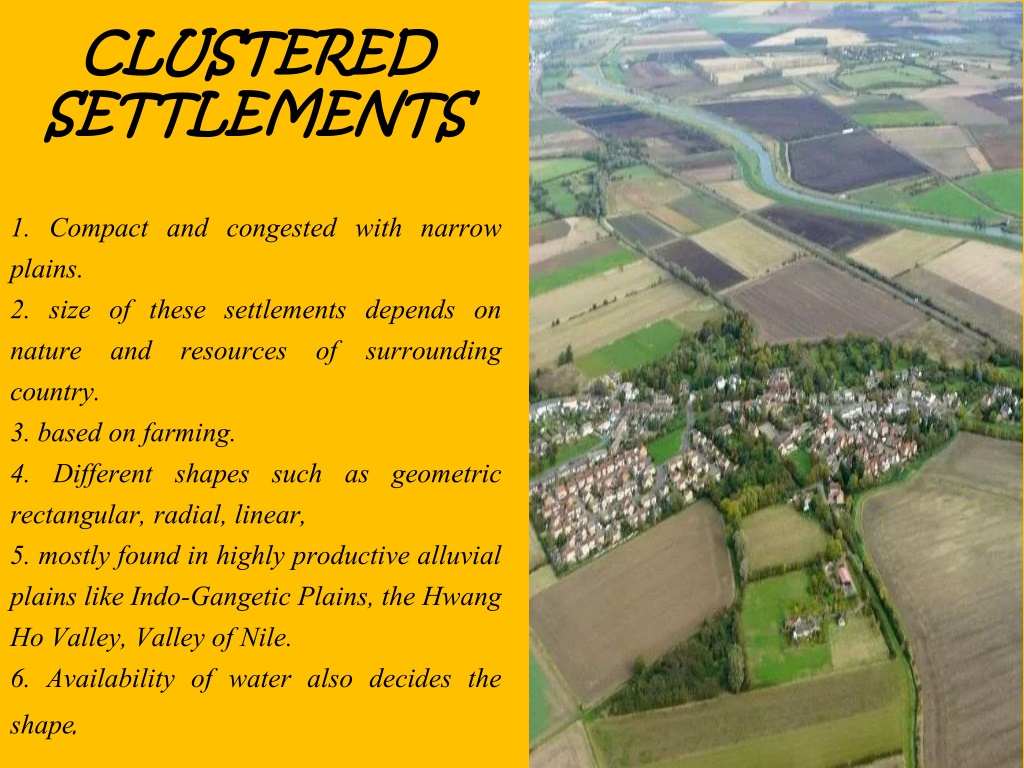 Settlement cluster in CoolcliffeSettlement cluster · 1382 yd
 Site of CastleCastle, unclassified · 1.4 mi
 Carrig-On-BannowVisitor information · 4.5 mi
 1798 MemorialMemorial · 4.6 mi
 Carrickbyrne HillMountain / peak · 5.4 mi
 Cullenstown StrandBeach / strand · 6.0 mi
 Glenour MonumentMemorial · 6.0 mi
 Blackhall StrandBeach / strand · 6.3 mi