What is recorded here
Marked on the 1839 ed. of the OS 6-inch map as a bivallate enclosure, it is situated just off the top of a broad hill, on a NE-facing slope. This is a circular grass-covered area (diam. 38m N-S; 36m E-W) defined by a scrub-covered earthen bank (Wth 5-6.m; int. H 0.7-0.9m; ext. H 2-2.2m) with an outer fosse (Wth of top 4.5-5m N-E-S to 9.5m at W; Wth of base c. 3-4.5m; D 0.2-0.5m N-E-S to 1.2m at W). There is an entrance (Wth 3m) at NE (max. ext. diam. 50.5m E-W; 47.5m N-S). Archaeological testing (00E0503) immediately to the SE produced no archaeological features (Tierney 2000; Excavations.ie 2000:1067).
The above description is derived from the published 'Archaeological Inventory of County Wexford' (Dublin: Stationery Office, 1996). In certain instances the entries have been revised and updated in the light of recent research.
Compiled by: Michael Moore
Date of upload: 18 June, 2013
Amended: 1 December 2020
The monument record does not grant public access. Check the route and ask the landowner before entering private land.
- What survives
- Recorded monument
Places near here
 St. Agathas WellHoly well · 817 yd
 Ecclesiastical enclosure in ShelbagganEcclesiastical enclosure · 978 yd
 Church (Ruins of)Ruins · 1.1 mi
 Baylestown Housefarm house · 1.2 mi
 Site of CastleCastle, unclassified · 1.7 mi
 Common WhitebeamCommon Whitebeam · 2.3 mi
 1798Memorial · 2.3 mi
 Kilhile Castle (in ruins)Castle, tower house · 3.0 mi
 Arthurstown BeachBeach / strand · 3.0 mi
 DuncannonBeach / strand · 3.1 mi
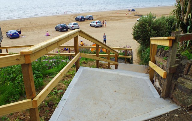 Duncannon BeachVisitor information · 3.1 mi
 Saltmills Explosion MemorialMemorial · 3.2 mi