What is recorded here
Embanked enclosure is a fairy fort or earthen ringfort in Roxborough, County Roscommon, Ireland. It appears as an oval embanked enclosure on the 1837 and 1914 Ordnance Survey maps, sits on a gentle south-facing slope, and still shows a circular grass-covered area defined by a band of lusher vegetation.
Marked as an oval embanked enclosure (ext. dims. c. 45m E-W; c. 30m N-S) on the 1837 and 1914 eds. of the OS 6-inch map, and situated on a gentle S-facing slope. Described as an oval area defined by an earthen bank and fosse and traces of an outer bank (Gannon 1972). It is now a circular grass-covered area (diam. 43m E-W; 41m N-S) defined by a band of lusher vegetation. Rath (RO040-008----) is c. 65m to the W.
Compiled by: Michael Moore
Date of upload: 24 August 2010
The monument record does not grant public access. Check the route and ask the landowner before entering private land.
- What survives
- Recorded monument
Places near here
 Enclosure in Cartron (coote)Enclosure · 1201 yd
 Embanked enlcosureFairy fort / earthen ringfort · 1223 yd
 CastleCastle, unclassified · 1556 yd
 Derrane AbbeyReligious house, Augustinian, of Arrouaise nuns · 1.1 mi
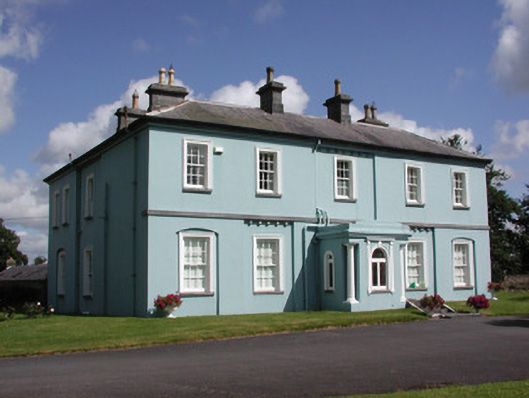 Essex Lawn Househouse · 1.2 mi
 Roscommon CastleCastle · 1.5 mi
 Big IslandForest · 2.4 mi
 Little IslandForest · 2.5 mi
 Leitrim CastleCastle, unclassified · 4.8 mi
 FerrinchIslet · 5.0 mi
 Hangman's HillMountain / peak · 5.6 mi
 Cruit BayBay · 5.9 mi