What is recorded here
Embanked enclosure is a fairy fort or earthen ringfort in Roo, County Roscommon, Ireland. It occupied the SE end of a NW-SE drumlin ridge and measured about 37m N-S by 36m E-W. An earthen bank and outer fosse defined its SW-N-SE perimeter, while a scarp marked the remainder. The NE entrance had a causeway, and Rath (RO018-016001*) stood about 170m to the SSW.
On the crest of a NW-SE drumlin ridge, at the SE end. Described in 1952 as a circular area (diam. c. 37m N-S; c. 36m E-W) defined by an earthen bank and outer fosse SW-N-SE, with the perimeter reduced to a scarp elsewhere. The entrance and causeway were at NE (NMI file). The site was removed in 1971-2 (Gannon 1972), and is no longer visible at ground level in pasture. Rath (RO018-016001*) is c. 170m to the SSW.
Compiled by: Michael Moore
Date of upload: 24 August 2010
The monument record does not grant public access. Check the route and ask the landowner before entering private land.
- What survives
- Recorded monument
Places near here
 Tober PatrickChurch · 909 yd
 Embanked enclosureFairy fort / earthen ringfort · 917 yd
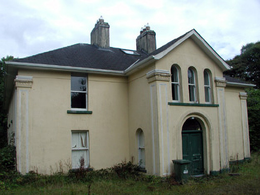 Tully Lodgehouse · 1285 yd
 Hat IslandIslet · 1.0 mi
 InishmoylinIslet · 1.2 mi
 Tobermacleggan WellHoly well · 1.2 mi
 Coarse IslandForest · 1.3 mi
 Site of Dangan CastleCastle, unclassified · 1.5 mi
 Mullinashee WoodForest · 3.1 mi
 Tom Dunphy MemorialMemorial · 3.4 mi
 Patrick Gill Memorial Plaque (IRA)Monument · 3.7 mi
 Cavan & Leitrim RailwayMuseum · 4.2 mi