
What is recorded here
Marked as a holy well only on the 1914 ed. of the OS 6-inch map and situated on the NE-facing slope of a NW-SE drumlin ridge. Described as an ancient holy well (OS Name Books), but the well was also regarded as the site of a church (O'Flanagan 1931, vol. 2, 18; Lewis 1837, vol. 2, 187). No archaeological feature is visible at ground level on the scrub-covered E-facing slope.
Compiled by: Michael Moore
Date of upload: 24 August 2010
The monument record does not grant public access. Check the route and ask the landowner before entering private land.
- What survives
- Recorded monument
Places near here
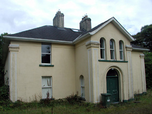 Tully Lodgehouse · 1040 yd
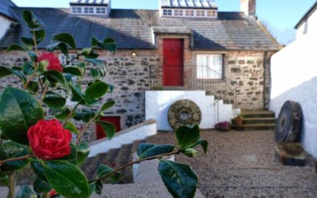 Old Corn KilnKiln, corn-drying · 1211 yd
 Tobermacleggan WellHoly well · 1433 yd
 InishmoylinIslet · 1545 yd
 Embanked enclosureFairy fort / earthen ringfort · 1752 yd
 Coarse IslandForest · 1.1 mi
 Dockery's IslandIslet · 1.1 mi
 Site of Dangan CastleCastle, unclassified · 1.5 mi
 Tom Dunphy MemorialMemorial · 3.0 mi
 Wildlife AreaNature reserve · 3.1 mi
 Patrick Gill Memorial Plaque (IRA)Monument · 3.4 mi
 Cavan & Leitrim RailwayMuseum · 3.8 mi
Other information
Photo: Credit not shown in the picture search · Rights wording not checked; contact us if this picture should be removed