What is recorded here
Marked only on the 1914 ed. of the OS 6-inch map, and described as an ancient well (OS Name Books). Situated on a gentle S-facing slope, and described as a spring well (Gannon 1972), it is no longer visible at ground level in pasture. Kilmore church (RO018-002003-) is c. 130m to the WNW.
From the National Monuments Service (Archaeological Survey of Ireland) record RO018-003
The monument record does not grant public access. Check the route and ask the landowner before entering private land.
- What survives
- Recorded monument
Places near here
Photo credits
- National Inventory of Architectural Heritage
- Reading Tom, Wikimedia Commons · CC BY 2.0
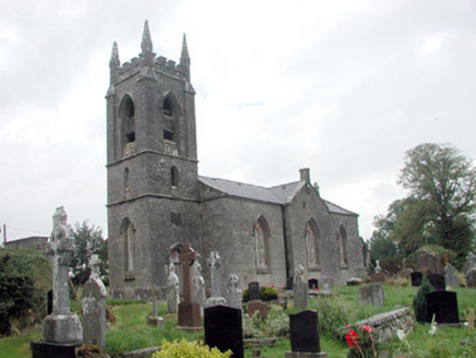 Kilmore ChurchChurch/chapel · 159 yd
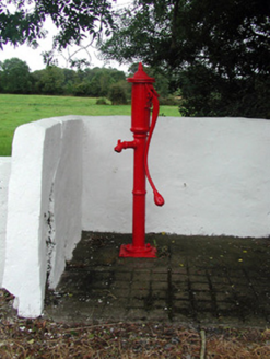 Historic buildingOfficially recorded historic building · 477 ydSite of Dangan CastleCastle, unclassified · 1.1 miIndicatedFairy fort / earthen ringfort · 1.2 miIndicatedFairy fort / earthen ringfort · 1.2 miInishmoylinIslet · 1.5 miCoarse IslandForest · 1.8 miDockery's IslandIslet · 1.8 miTom Dunphy MemorialMemorial · 2.2 miWildlife AreaNature reserve · 2.3 miPatrick Gill Memorial Plaque (ira)Monument · 2.6 mi
 Cavan & Leitrim RailwayMuseum · 4.2 mi
More archaeology and monuments in County Roscommon · All of County Roscommon
What do you know about this place?