What is recorded here
Situated at the crest of an E and S-facing slope. Circular scrub-covered area (diam. c. 35m) defined by a scarp (H 0.1-0.2m) at W and S, with a slight bank (Wth 2.5m; int. H 0.5m; ext. H 0.7m) at E. There is no visible fosse or entrance.
The above description is derived from the published 'Archaeological Inventory of County Waterford' (Dublin: Stationery Office, 1999). In certain instances the entries have been revised and updated in the light of recent research.
Revised by: Michael Moore
Date of upload: 07 October 2011
The monument record does not grant public access. Check the route and ask the landowner before entering private land.
- What survives
- Recorded monument
Places near here
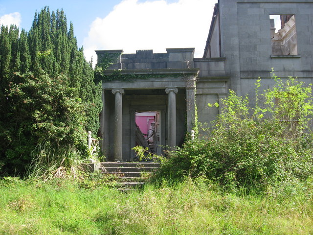 Enclosure in PilltownEnclosure · 338 yd
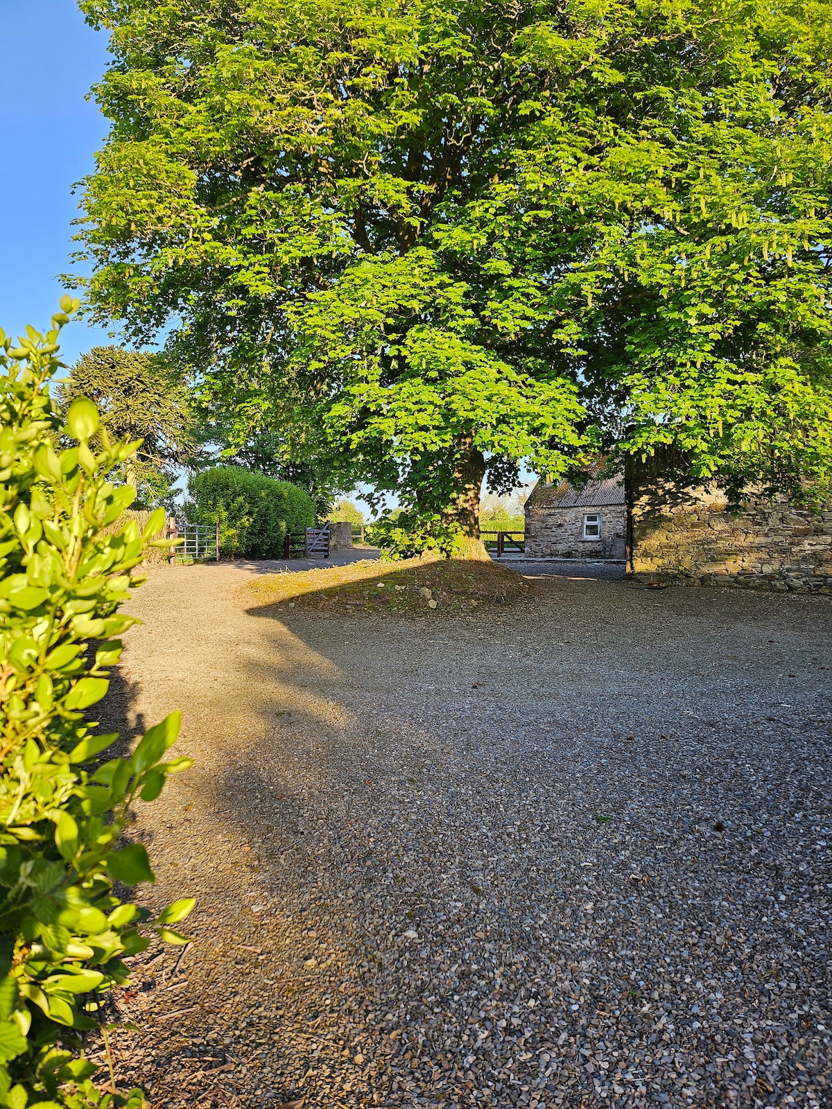 KinsalebegSettlement cluster · 702 yd
 Flour MillMill, unclassified · 797 yd
 Site of CastleCastle, unclassified · 801 yd
 IndicatedChurch · 1003 yd
 Kilmaloo LoughWood · 1231 yd
 Castle (in ruins)Castle, tower house · 1.5 mi
 Ardmore Open FarmHeritage attraction · 2.1 mi
 Ferry PointViewpoint · 2.1 mi
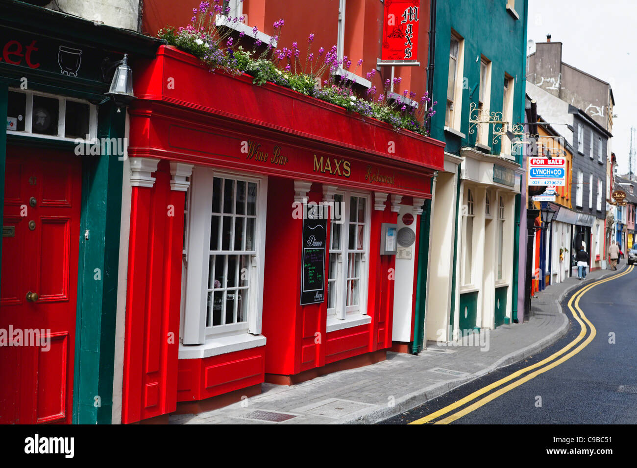 Store Street & New Catherine StreetVisitor information · 2.3 mi
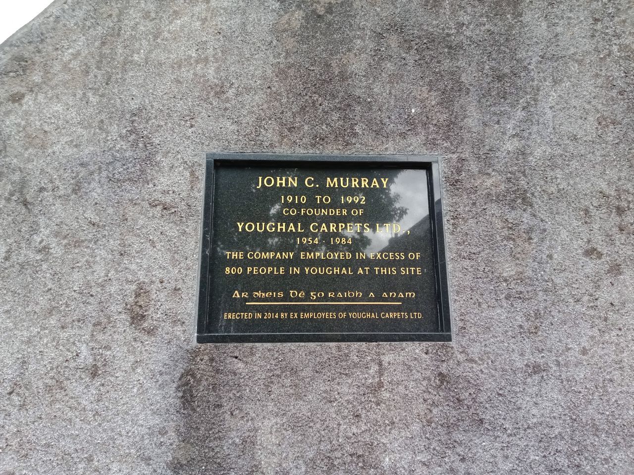 John C. MurrayMemorial · 2.3 mi
 John "Jack" FoleyMemorial · 2.4 mi