What is recorded here
Located in the flat-bottomed valley of the Oldcourt Stream, which runs E-W c. 100m to the N, with a small S-N stream c. 85m to the E. This is a raised circular area in mixed woodland (diam. 26m) defined by a slight bank (Wth 5.5-6.5m; int. H c. 0.5m; ext. H 1.2-2m) and traces of an external fosse that is most prominent at N (Wth of top 7.5m; Wth of base 3.5m; D 0.3m). There is a ramp entrance (Wth 1m) at S.
From the National Monuments Service (Archaeological Survey of Ireland) record WX034-029
The monument record does not grant public access. Check the route and ask the landowner before entering private land.
- What survives
- Recorded monument
Places near here
St. Nicholas WellHoly well · 331 ydSite of ChurchChurch · 567 yd Devon whitebeam617 ydsite of CastleCastle, unclassified · 716 ydCatholic Church of Saint Mary and Saint BrigidChurch/chapel · 1092 ydwater pump1094 ydPartridge HillMountain / peak · 1627 ydSlievecoiltiaMountain / peak · 1702 ydKennedy HomesteadHeritage attraction · 1.1 miThe Croppy GroveMemorial · 1.6 miArmaghs Castle (in Ruins)Castle, tower house · 2.1 miThe John F. Kennedy ArboretumForest · 2.1 mi
 Devon whitebeam617 ydsite of CastleCastle, unclassified · 716 yd
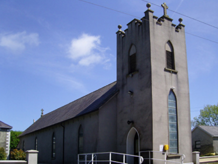 Catholic Church of Saint Mary and Saint BrigidChurch/chapel · 1092 yd
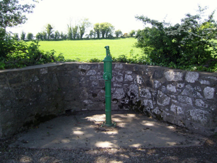 water pump1094 ydPartridge HillMountain / peak · 1627 yd
 SlievecoiltiaMountain / peak · 1702 ydKennedy HomesteadHeritage attraction · 1.1 miThe Croppy GroveMemorial · 1.6 mi
 Armaghs Castle (in Ruins)Castle, tower house · 2.1 mi
 The John F. Kennedy ArboretumForest · 2.1 mi
Pictures: seegraswiese, Wikimedia Commons · CC BY-SA 3.0; National Inventory of Architectural Heritage; David Purchase, Wikimedia Commons · CC BY-SA 2.0; Kieran Campbell, Wikimedia Commons · CC BY-SA 2.0; Dr Charles Nelson, Wikimedia Commons · CC BY-SA 2.0
More archaeology and monuments in County Wexford · All of County Wexford
What do you know about this place?