
What is recorded here
Described as 'site of Church' and traced in outline on the 1839 ed. of the OS 6-inch map. It is situated in the narrow E-W valley of the Oldcourt Stream which is c. 10m to the S. Although Lewis (1837; 715) mentions a neat Catholic church near Oldcourt this was probably referring to the church at Ballykelly c. 850m to the S, and this structure may have been a chapel-of-ease in Whitechurch parish, or an estate chapel associated with the Sutton castle (WX034-026----) c. 180m to the NNW. The base of the clay-bonded walls of a rectangular building (int. dims. 9.15m E-W; 4.20m N-S; H 0.8m) survive. There is no evidence of burial within a rectangular enclosure (dims. c. 40m N-S; c. 30m E-W) defined by earthen banks on all sides except the N where there is a mill-race. St Nicholas' Well, a natural spring, lies c. 200m to the ESE.
The above description is derived from the published 'Archaeological Inventory of County Wexford' (Dublin: Stationery Office, 1996). In certain instances the entries have been revised and updated in the light of recent research.
Compiled by: Michael Moore
Date of upload/revision: 14 September, 2012
The monument record does not grant public access. Check the route and ask the landowner before entering private land.
- What survives
- Recorded monument
Places near here
 site of CastleCastle, unclassified · 189 yd
 St. Nicholas WellHoly well · 238 yd
 Embanked enclosureFairy fort / earthen ringfort · 567 yd
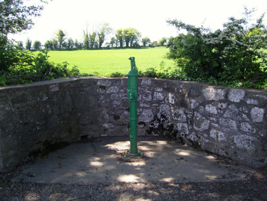 water pumpwater pump · 899 yd
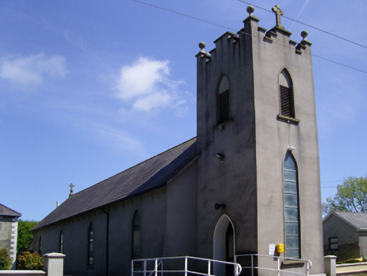 Catholic Church of Saint Mary and Saint Brigidchurch/chapel · 923 yd
 Devon whitebeamDevon whitebeam · 1109 yd
 Partridge HillMountain / peak · 1225 yd
 Kennedy HomesteadHeritage attraction · 1464 yd
 SlievecoiltiaMountain / peak · 1.3 mi
 CastleCastle, tower house · 1.8 mi
 The Croppy GroveMemorial · 1.9 mi
 Garden of RemembranceMemorial · 1.9 mi
Other information
Photo: Credit not shown in the picture search · Rights wording not checked; contact us if this picture should be removed