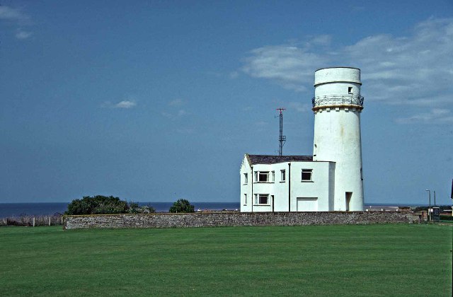
What is recorded here
On a gentle W-facing slope, c. 1.3 km NW from the River Shannon. Circular overgrown area (diam. 56m E-W; 55.1m N-S) defined by an overgrown earthen bank (Wth 5.7-9.3m; int. H 0.7-1.5m; ext. H 2.2-3m) and a rounded fosse (Wth of top 8.8-10.8m; Wth of base 3-4.5m; D. 1.5-2m). There are traces of an outer bank (Wth 4m; H 0.5m) S-SW and a collapsed field wall on the outer edge of the fosse N-E. There is a modern entrance (Wth 4.5m) at E. A post-medieval lime-kiln was found c. 60m to the NW in archaeological testing (03E0007) during 2003 (Henry 2006a).
Compiled by: Michael Moore
Date of upload: 24 August 2010
A local fairy fort (ringfort/rath); wider significance not recorded.
The monument record does not grant public access. Check the route and ask the landowner before entering private land.
- What survives
- Recorded monument
Places near here
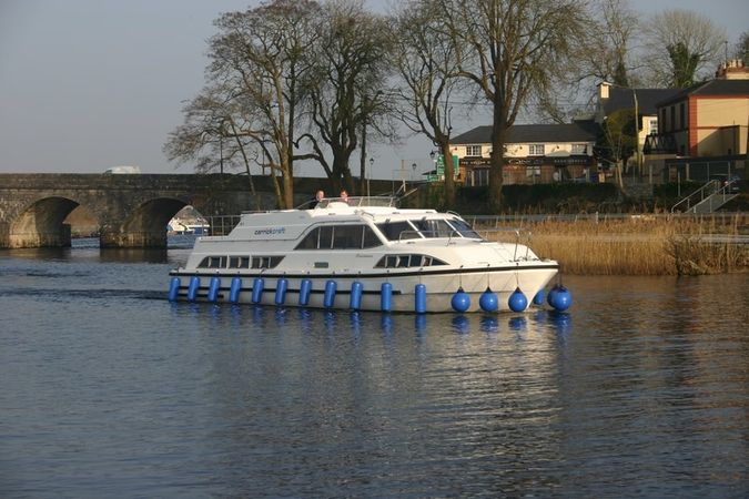 St Barrys BoatRitual site, holy/saint's stone (present location) · 648 yd
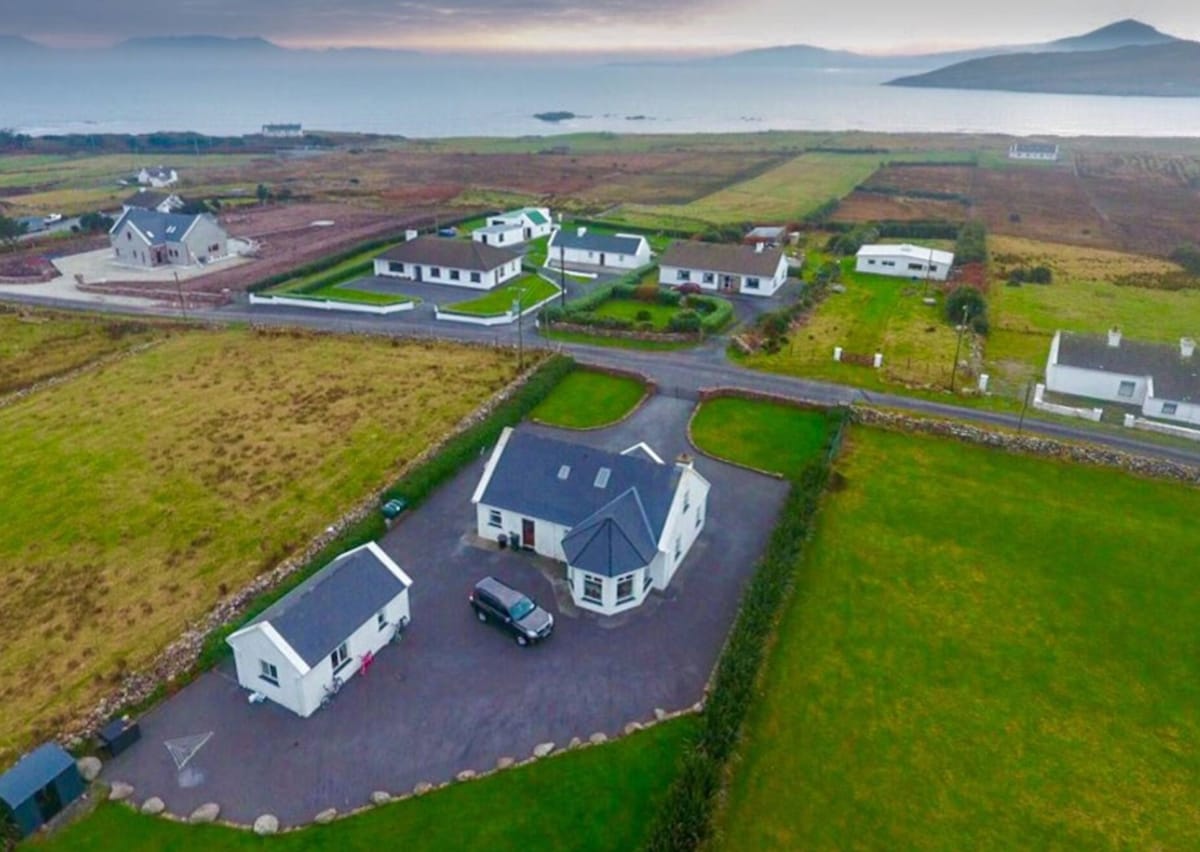 IndicatedFairy fort / earthen ringfort · 1407 yd
 St. Barry's WellSpring · 1654 yd
 Penitential station in Cloonmore (ballintober North By.)Penitential station · 1.5 mi
 Long IslandIslet · 1.6 mi
 Termonbarry Bridgebridge · 1.6 mi
 Rabbit IslandIslet · 4.1 mi
 Bawn in AbbeycartronBawn · 5.1 mi
 First World War MemorialMemorial · 5.4 mi
 Saint Mel's CathedralCathedral · 5.4 mi
 Graveyard in Curry (ardagh By., Coolamber Ed)Graveyard · 6.4 mi
 Commons North WalkVisitor information · 7.3 mi
Other information
Photo: Credit not shown in the picture search · Rights wording not checked; contact us if this picture should be removed