What is recorded here
At the crest of a W-facing slope of a broad hill. Circular grass-covered and flat-topped mound (diam. of top 8.8m; diam. of base 10.5m E-W; 10.2m N-S; H 0.2m) defined by a fosse (Wth of top 3-3.3m; Wth of base 0.9-1.3m; D 0.2-0.4m) and an outer bank (Wth 2.5-2.9m; H 0.3-0.4m). There are gaps in the bank at S (Wth 1m) and NW (Wth 1.6m) (max. ext. diam. 18.2m E-W).
Compiled by: Michael Moore
Date of upload: 24 August 2010
Embanked enclosure; date uncertain but likely prehistoric. Its construction suggests ritual or defensive use, typical of early enclosed sites in the region.
The monument record does not grant public access. Check the route and ask the landowner before entering private land.
- What survives
- Recorded monument
Places near here
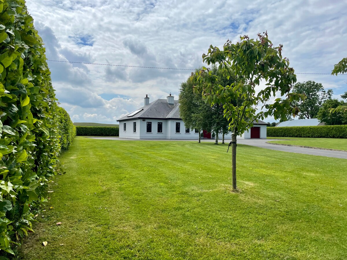 Embanked enclosureFairy fort / earthen ringfort · 1108 yd
 Fortview Househouse · 1.1 mi
 IndicatedFairy fort / earthen ringfort · 1.1 mi
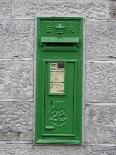 post boxpost box · 2.4 mi
 CastleCastle, unclassified · 2.5 mi
 Roscommon CastleCastle · 2.8 mi
 Leitrim CastleCastle, unclassified · 3.5 mi
 Big IslandForest · 4.7 mi
 Little IslandForest · 4.8 mi
 Sally IslandIslet · 8.5 mi
 Site of Killomaine Grave YardArchaeological place · 9.7 mi
 Dogs IslandIslet · 10.0 mi