What is recorded here
Embanked enclosure is a fairy fort or earthen ringfort in Moneymore, County Roscommon, Ireland. Two other raths sit within a short distance to the northeast and south. Field banks cut across the D-shaped earthworks, which are no longer visible in the reclaimed pasture.
Marked as a D-shaped embanked enclosure (dims c. 30m N-S; c. 25m E-W) cut by a N-S field bank at E on the 1837 ed. of the OS 6-inch map, and as a D-shaped feature (dims c. 35m N-S; c. 35m E-W) truncated by field banks at N and E on the 1915 ed. It is situated on a slightly undulating landscape, but is not visible at ground level in reclaimed pasture. Rath (RO042-027----) is immediately to the NE, and rath (RO042-029----) is c. 140m to the S.
Compiled by: Michael Moore
Date of upload: 24 August 2010
The monument record does not grant public access. Check the route and ask the landowner before entering private land.
- What survives
- Recorded monument
Places near here
 Embanked enclosureFairy fort / earthen ringfort · 202 yd
 Mote Parkdemesne walls/gates/railings · 1706 yd
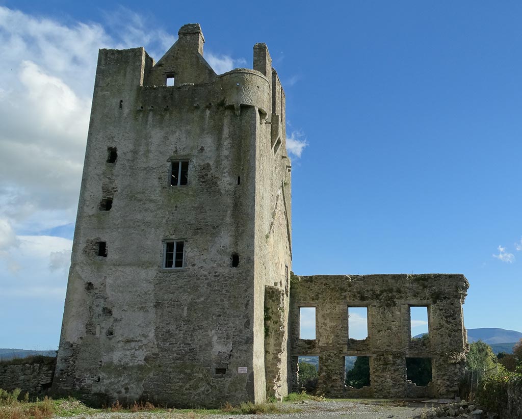 IndicatedFairy fort / earthen ringfort · 1726 yd
 Ballymurray ForestForest · 1.1 mi
 Hangman's HillMountain / peak · 1.2 mi
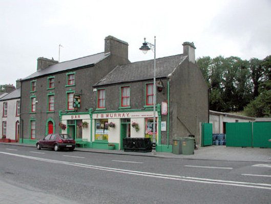 J.S. Murrayhouse · 1.2 mi
 CastleCastle, unclassified · 1.4 mi
 Lower WoodForest · 1.6 mi
 Galey CastleCastle, tower house · 2.4 mi
 Galey BayBay · 2.6 mi
 Cruit BayBay · 2.9 mi
 Sedgy IslandIslet · 3.6 mi