What is recorded here
Located towards the top of the W-facing slope of a N-S ridge, with the N-S Urrin River c. 300m to the W. This is a subcircular area (dims. c. 47m N-S; 40m E-W) defined by a flat-bottomed moat (at W: Wth of top 9m; int. D 2m; ext. D 1.4m) SSW-N-E. A field bank is built on the inner edge of the moat N-E and the moat is filled in E-SSW where it is incorporated into a farmyard, and where the old Duffry Hall (WX014-022002-) was built.
The above description is derived from the published 'Archaeological Inventory of County Wexford' (Dublin: Stationery Office, 1996). In certain instances the entries have been revised and updated in the light of recent research.
Compiled by: Michael Moore
Date of upload/revision: 26 April, 2012
The monument record does not grant public access. Check the route and ask the landowner before entering private land.
- What survives
- Recorded monument
Places near here
 IndicatedHouse, 18th/19th century · 29 yd
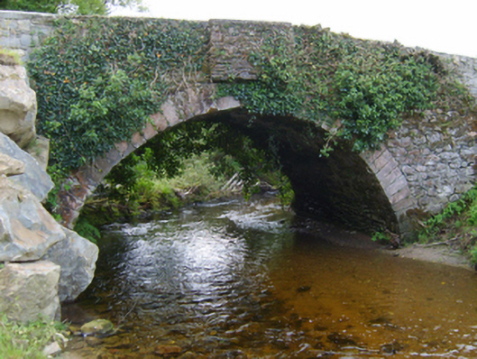 Mocurry Bridgebridge · 369 yd
 Embanked enclosureFairy fort / ringfort · 935 yd
 St. Doran's WellArchaeological place · 1.8 mi
 Clorogue BegMountain / peak · 2.7 mi
 1798 MemorialMemorial · 3.0 mi
 Pedunculate OakPedunculate Oak · 3.4 mi
 KnockroeMountain / peak · 3.6 mi
 Killoughrum ForestForest · 3.6 mi
 Mount LeinsterMountain · 4.4 mi
 Irish Hangliding and Paragliding AssociationMemorial · 4.6 mi
 Clohamon Castle (in ruins)Castle, unclassified · 6.4 mi