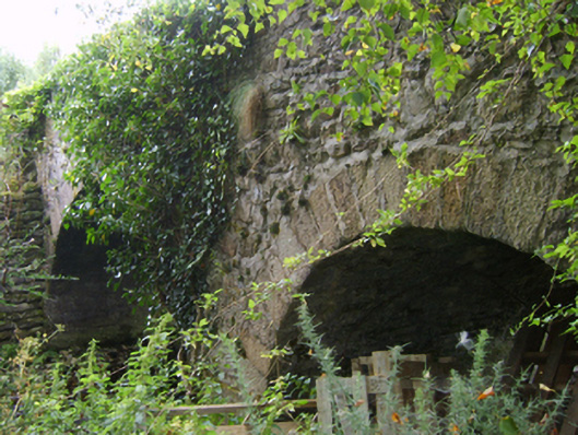
What is recorded here
Two-arch hump back road bridge over stream, extant 1840. Part creeper- or ivy-covered walls with overgrown coping to parapets. Pair of round or segmental arches with repointed granite ashlar voussoirs. Sited spanning Asinvillar Stream with unkempt banks to stream.
A bridge representing an integral component of the civil engineering heritage of the environs of Kiltealy: meanwhile, a much weathered benchmark remains of additional interest for the connections with cartography and the preparation of maps by the Ordnance Survey (established 1824).
This does not grant access. Most recorded buildings are privately owned; view them only from public ground unless the owner allows entry.
Places near here
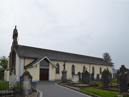 Catholic Church of Saint Patrick and Saint Ceceliachurch/chapel · 915 yd
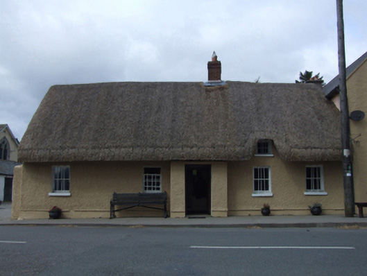 J. Bowefarm house · 931 yd
 St. Doran's WellArchaeological place · 1011 yd
 Cross in Askinvillar UpperCross · 1029 yd
 1798 MemorialMemorial · 2.5 mi
 Clorogue BegMountain / peak · 2.7 mi
 SlievebaunMountain / peak · 2.7 mi
 Coonogue WoodForest · 3.6 mi
 Killoughrum ForestForest · 4.2 mi
 Mount LeinsterMountain · 4.3 mi
 Irish Hangliding and Paragliding AssociationMemorial · 4.4 mi
 Ruin of a small castleRuins · 5.6 mi
Other information
Photo: National Inventory of Architectural Heritage · Website use allowed for educational or private purposes with source credit