What is recorded here
Marked as a circular bivallate embanked enclosure on the 1839 ed. of the OS 6-inch map. It is located on the level landscape of the Hook peninsula. It was described in 1987 as a circular area defined by an earthen bank of irregular dimensions, within which was a wet sunken area, rising to a dry mound towards centre (SMR file). It was subsequently reduced to a flat topped, oval, grass-covered mound (dims. 22m NE-SW; 13m NW;SE; H 1 2m) surrounded by a berm of wet uncultivated land (Wth 15-21m). It is a possibly barrow. The S end of linear earthwork (WX049-015002-) is c. c. 30m to the ENE.
The above description is derived from the published 'Archaeological Inventory of County Wexford' (Dublin: Stationery Office, 1996). In certain instances the entries have been revised and updated in the light of recent research.
Compiled by: Michael Moore
Date of upload/revision: 4 February 2014
This monument is subject to a preservation order made under the National Monuments Acts 1930 to 2014 (PO no. 3/1958).
Embanked enclosure; date uncertain but likely prehistoric. Its dual-ditch design suggests a ceremonial or defensive function, typical of Bronze Age enclosures in the region.
The monument record does not grant public access. Check the route and ask the landowner before entering private land.
- What survives
- Recorded monument
Places near here
 Boyce's BayBeach / strand · 344 yd
 Loftus Hallcountry house · 916 yd
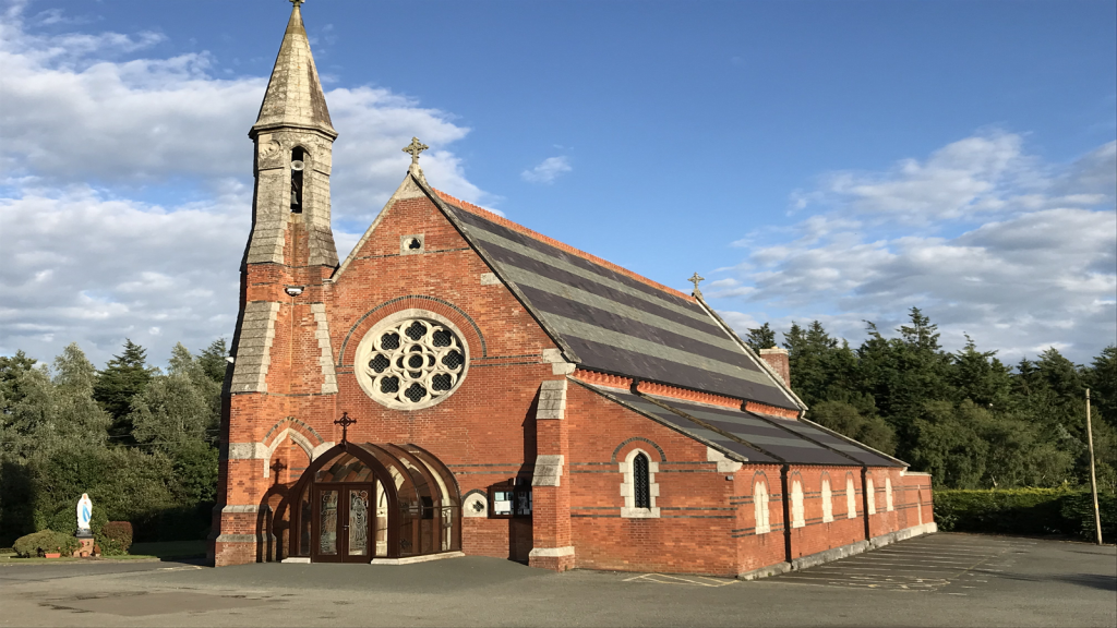 Brecaun Church (in ruins)Church · 923 yd
 Long RockNamed rock · 957 yd
 Windmill (in Ruins)Windmill · 1019 yd
 Houseland Castle (in ruins)Castle, tower house · 1048 yd
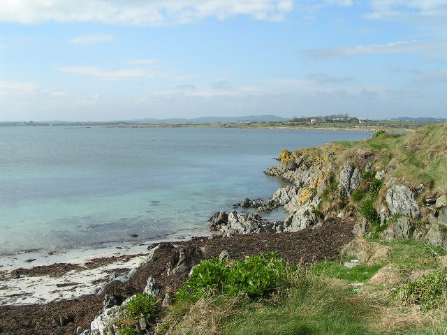 The Hall BayBeach / strand · 1186 yd
 Site of R.C. ChapelChurch · 1.2 mi
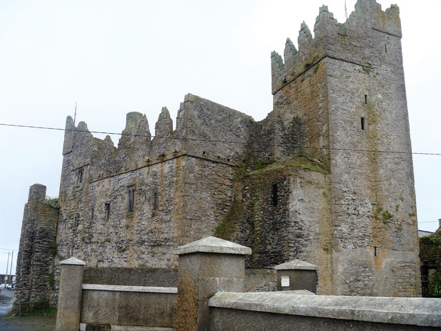 Slade CastleCastle, tower house · 1.4 mi
 St. Dubhan's ChurchHeritage attraction · 1.7 mi
 hookHeritage attraction · 2.0 mi
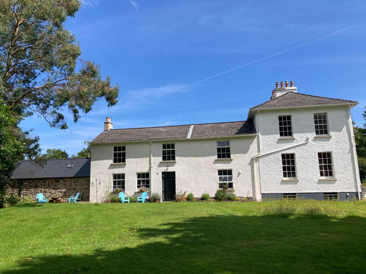 DoornogeHeadland · 2.1 mi