
What is recorded here
Marked as a circular embanked enclosure (ext. diam. c. 50m) on the 1837 and 1914 eds of the OS 6-inch map, and situated on the floodplain of Lough Ree, which is c. 1km to the SE. Subcircular area (int. dims 39.5m E-W; 36.4m N-S) defined by a water-filled moat (at N: Wth c. 8m; D c. 1m; at SE: Wth c. 4m; D c. 1m). The…
Read the whole record
From the National Monuments Service (Archaeological Survey of Ireland) record RO040-021
Places near here
Photo credits
- Maker not stated on source page, en.wikipedia.org
- Maker not stated on source page, fi.pinterest.com
- Maker not stated on source page, irishheritagenews.ie
- Maker not stated on source page, commons.wikimedia.org
- Maker not stated on source page, storage.googleapis.com
- National Inventory of Architectural Heritage
- Maker not stated on source page, www.thejournal.ie
- AndreasDelp, Wikimedia Commons · CC BY-SA 4.0
- Golfing in Ireland; photographer not stated, Source publisher
 Earthwork in KilnacloghyEarthwork · 1489 yd
Explorer Tom Earthwork in Kilnacloghy is a tiny ten-meter mound hiding in plain sight because it apparently has commitment issues…
 Mapped cemeteryCemetery · 2.2 mi
Explorer Tom Mapped cemetery in Roscommon was once tried to be bought by a very aggressive cow who kept chewing on the fence posts…
 Fairy fort / earthen ringfort in CloonageeraghFairy fort / earthen ringfort · 2.3 mi
Explorer Tom Fairy fort / earthen ringfort in Cloonageeragh has a tunnel that goes straight to the pub, but only if you’re small…
 Graveyard in Clooncah (ballintober South By.)Graveyard · 2.5 mi
Explorer Tom Graveyard in Clooncah has a tall tale about a hidden tunnel that leads directly to the local pub’s cellar. Nobody has…
 Fairy fort / stone ringfort in Formoyle (newcomen)Fairy fort / stone ringfort · 3.4 mi
Explorer Tom Fairy fort / stone ringfort in Formoyle saw a cow get stuck in its bank last Tuesday, which was the most dramatic thing…
 Earthwork in LisrevaghEarthwork · 3.4 mi
Explorer Tom Earthwork in Lisrevagh was taken over by a fox one year who acted like it owned the entire circular mound. If it's…
 Fairy fort / earthen ringfort in Lisduff (rathcline By.)Fairy fort / earthen ringfort · 3.4 mi
Explorer Tom Fairy fort / earthen ringfort in Lisduff is having a massive row with a tree nearby over whose shadow is bigger. The…
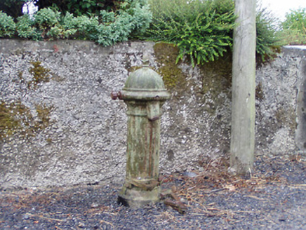 water pump3.7 mi
Explorer Tom The water pump in Formoyle loves the song 'Pump Me Up' more than anything else on Earth. It’s been humming that tune…
 Fairy fort / earthen ringfort in LisnacushFairy fort / earthen ringfort · 4.1 mi
Explorer Tom Fairy fort / earthen ringfort in Lisnacush would win a county fair by simply existing and looking unbothered. It’s huge…
 InchcleraunIsland · 5.2 mi
Explorer Tom Inchcleraun has two names, a monastery and enough legend to keep me talking well beyond the boat ride. It lies in Lough…
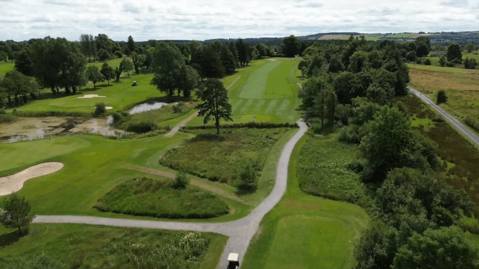 Roscommon Golf ClubGolf course · 5.5 mi
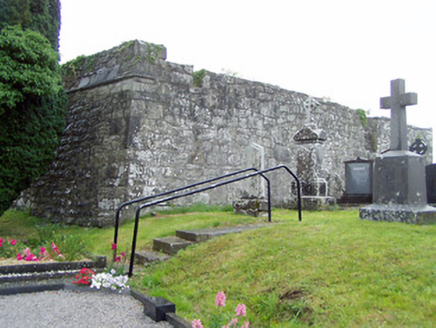 gates/railings/walls, graveyard/cemetery5.6 mi
Explorer Tom Gates in Cashel are guarding a graveyard that’s basically a zombie apocalypse waiting zone. St. Catherine’s church…
More archaeology and monuments in County Roscommon · All of County Roscommon

What do you know about this place?Tap to add a comment or ask a question