What is recorded here
Marked as a circular embanked enclosure (ext. diam. c. 60m) on the 1837 and 1915 eds of the OS 6-inch map, and situated on a rise in an undulating landscape. Circular grass-covered area (diam. c. 51m N-S) defined by a fosse which is best preserved E-S (at SSE: Wth of top 8.2m; int. D 0.4m; ext. D 0.15m), but traceable elsewhere. The interior is occupied by cattle sheds.
Compiled by: Michael Moore
Date of upload: 24 August 2010
The monument record does not grant public access. Check the route and ask the landowner before entering private land.
- What survives
- Recorded monument
Places near here
 Hangman's HillMountain / peak · 541 yd
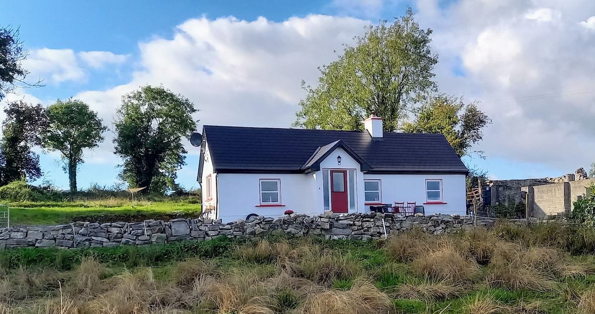 Not idicatedFairy fort / earthen ringfort · 571 yd
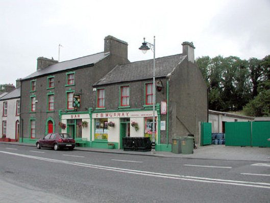 J.S. Murrayhouse · 603 yd
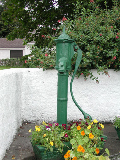 water pumpwater pump · 800 yd
 Tober ReeogeHoly well · 1370 yd
 Galey CastleCastle, tower house · 1.5 mi
 CastleCastle, tower house · 1.7 mi
 Galey BayBay · 1.8 mi
 Ballymurray ForestForest · 1.9 mi
 Cruit BayBay · 2.2 mi
 Lower WoodForest · 2.3 mi
 Sedgy IslandIslet · 2.8 mi