
What is recorded here
On a gentle ENE-facing slope. An arc (C 37.5m) of earthen bank or scarp with scrub (at S: Wth 4.2m; int. H 0.45m; ext. H 0.9m) survives SSE-W creating a D-shaped grass-covered area which is truncated by an E-W field bank at N and a N-S field bank at E. There is a modern gate with piers at SSW, but there is no visible fosse.
Compiled by: Michael Moore
Date of upload: 24 August 2010
A local fairy fort (ringfort/rath); wider significance not recorded.
The monument record does not grant public access. Check the route and ask the landowner before entering private land.
- What survives
- Recorded monument
Places near here
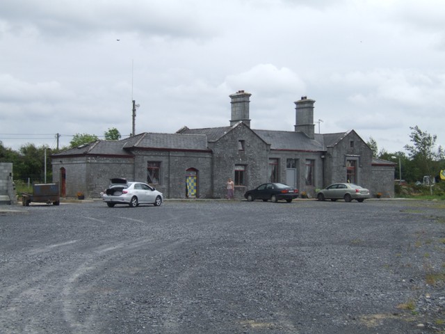 Knockcroghery Railway Stationrailway station · 1290 yd
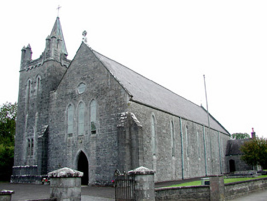 Saint Patrick's Catholic Churchchurch/chapel · 1564 yd
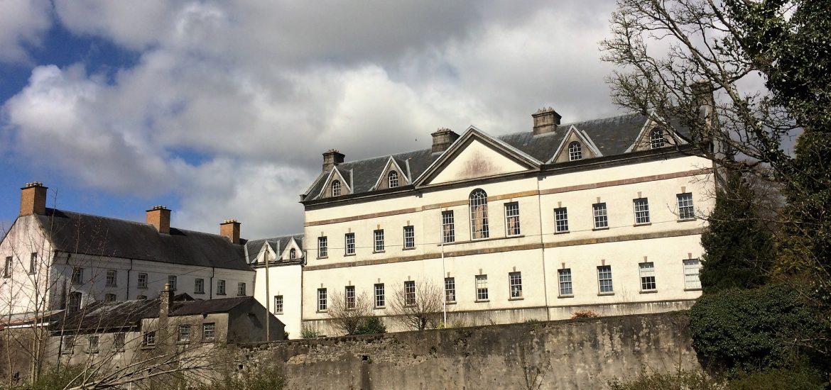 IndicatedCastle, unclassified · 1652 yd
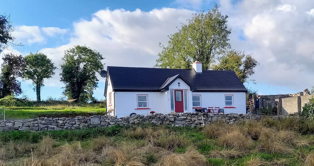 Not idicatedFairy fort / earthen ringfort · 1709 yd
 CastleCastle, tower house · 1.0 mi
 Not inidcatedFairy fort / earthen ringfort · 1.0 mi
 Hangman's HillMountain / peak · 1.2 mi
 Galey BayBay · 1.6 mi
 Cruit PointHeadland · 2.2 mi
 Sedgy IslandIslet · 2.8 mi
 Dogs IslandIslet · 2.8 mi
 Ballymurray ForestForest · 3.2 mi
Other information
Photo: Credit not shown in the picture search · Rights wording not checked; contact us if this picture should be removed