What is recorded here
Marked as a circular embanked enclosure (diam. c. 35m) only on the 1837 ed. of the OS 6-inch map, and situated on an E-facing slope on the W bank of the N-S Boyle River with much of the perimeter on the river's edge. It is not visible at ground level in pasture.
Compiled by: Michael Moore
Date of upload: 24 August 2010
The monument record does not grant public access. Check the route and ask the landowner before entering private land.
- What survives
- Recorded monument
Places near here
 Cootehall Bridgebridge · 696 yd
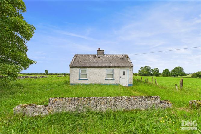 Embanked enclosureFairy fort / earthen ringfort · 762 yd
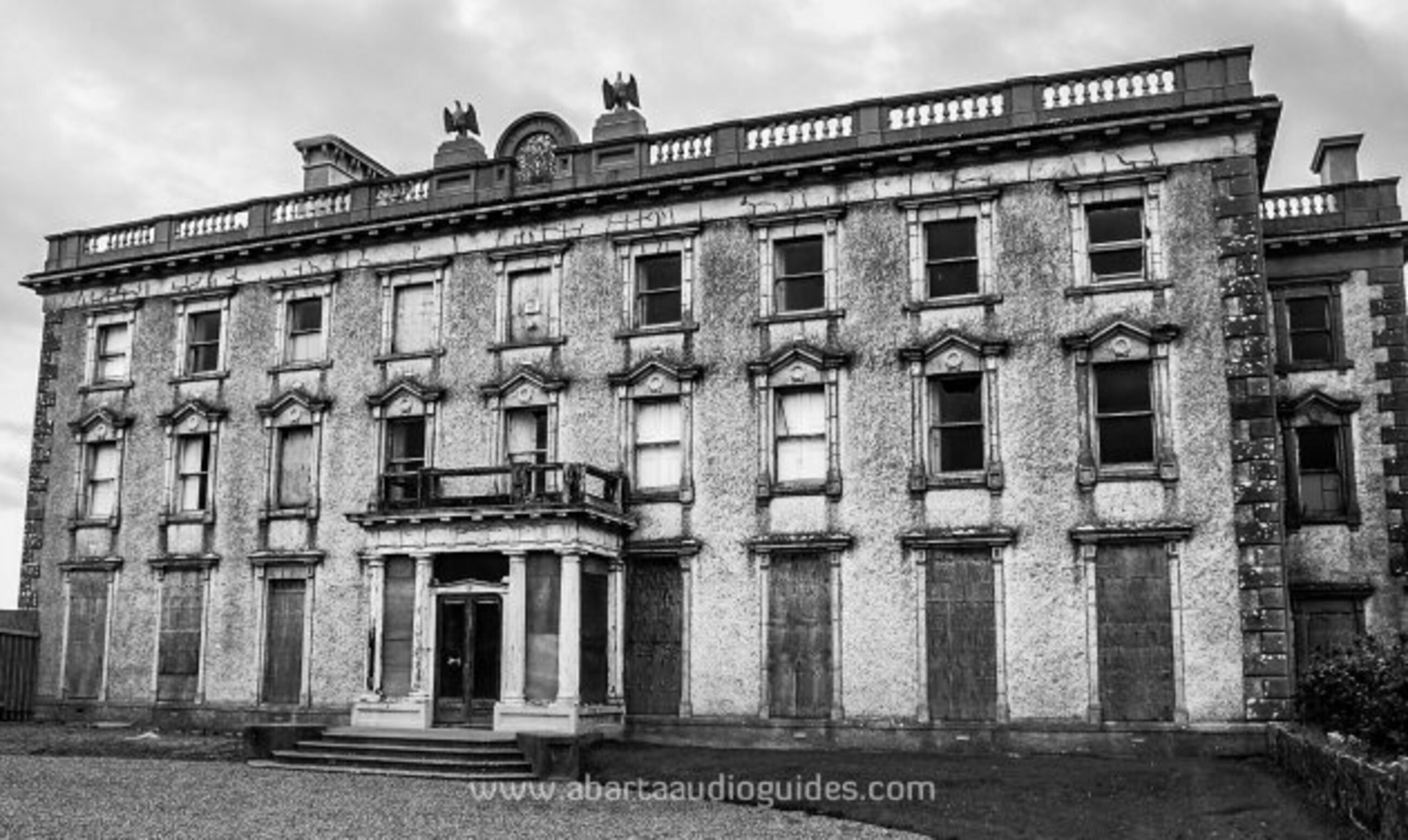 Enclosure in LisfarrellboyEnclosure · 799 yd
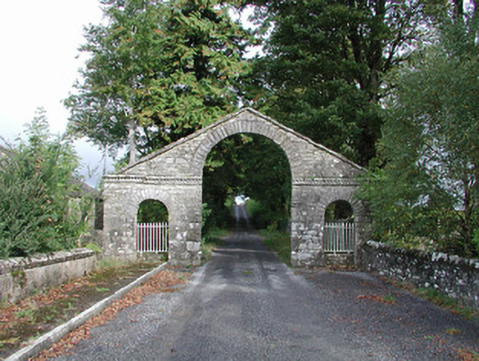 The Bawndemesne walls/gates/railings · 845 yd
 IndicatedBawn · 985 yd
 Hughestown WoodForest · 1.2 mi
 Longford HillMountain / peak · 2.4 mi
 Castle IslandIslet · 2.9 mi
 Horse-chestnutHorse-chestnut · 2.9 mi
 Green IslandIslet · 2.9 mi
 Lough Key Forest ParkWood · 3.2 mi
 Moon RiverHeritage attraction · 3.7 mi