What is recorded here
Marked as an embanked enlosure (ext. diam. c. 40-45m) on the 1839 ed. of the OS 6-inch map and faintly as a fragment of a bank at N on the 1940 ed. It is situated on a slight shelf overlooking a deep valley that opens out to the E, the bottom of which is c. 150m to the S. There are hilltops c. 370m to the NW and c. 900m to the S. There is a slightly raised grass-covered area (diam. c. 30m; H 0.3m).
The above description is derived from the published 'Archaeological Inventory of County Wexford' (Dublin: Stationery Office, 1996). In certain instances the entries have been revised and updated in the light of recent research.
Compiled by: Michael Moore
Date of upload/revision: 1 March 2012
The monument record does not grant public access. Check the route and ask the landowner before entering private land.
- What survives
- Recorded monument
Places near here
 Mass RockMass-rock · 276 yd
 Corn MillMill, unclassified · 1025 yd
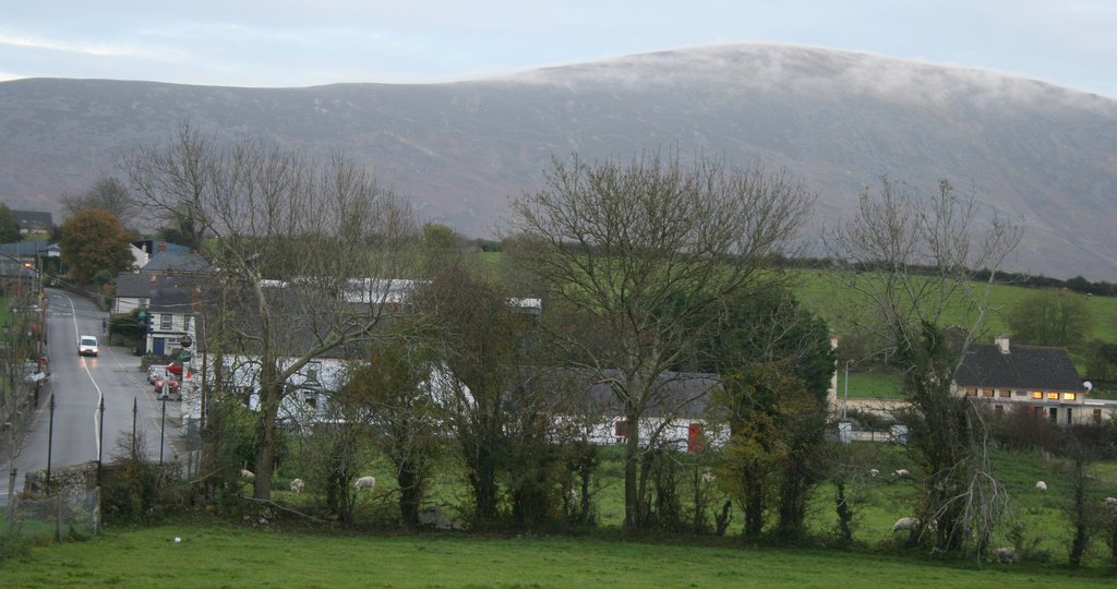 IndicatedFairy fort / ringfort · 1162 yd
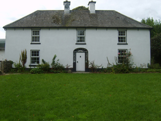 farm housefarm house · 1363 yd
 Craan HillMountain / peak · 1.3 mi
 Saint Brigid's WellSpring · 1.8 mi
 Kilmichael HillMountain / peak · 1.9 mi
 Mountnebo WoodForest · 2.2 mi
 Blue SchoolMemorial · 3.1 mi
 Ballingarry WoodForest · 3.6 mi
 1798 MemorialMemorial · 4.9 mi
 CastleCastle, motte · 5.4 mi