What is recorded here
On a gentle N-facing slope. Circular grass-covered area (diam. 8.75m) defined by a scrub-covered earthen bank (Wth 1.2m generally to 3.5m at S; int. H 0.2m generally to 0.75m at S; ext. H 0.1m at W to 0.8m at S). The bank is revetted externally by large upright stones or a drystone-built wall and there is an entrance (Wth 1.3m) defined by two large stones at NW.
Compiled by: Michael Moore
Date of upload: 24 August 2010
The monument record does not grant public access. Check the route and ask the landowner before entering private land.
- What survives
- Recorded monument
Places near here
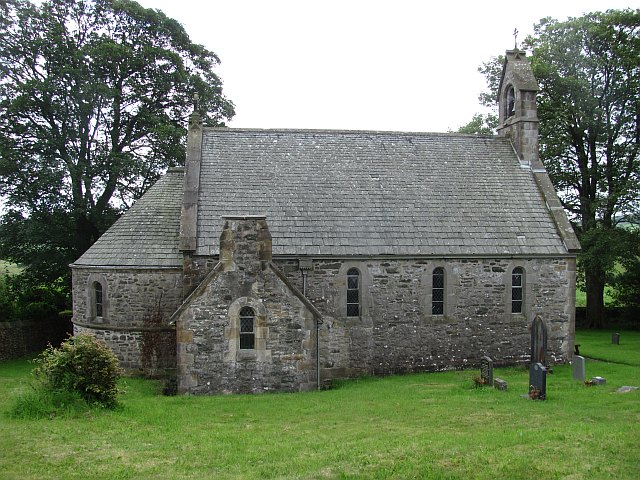 Killeenan Church (Site of)Church · 284 yd
 Ecclesiastical enclosure in KnockadaffEcclesiastical enclosure · 292 yd
 Knockvicar BridgeOfficially recorded historic building · 1476 yd
 Religious houseReligious house, Franciscan Third Order Regular · 1720 yd
 Errironagh WoodForest · 1.7 mi
 Longford HillMountain / peak · 2.2 mi
 Swallow IslandIslet · 2.5 mi
 Hughestown WoodForest · 2.5 mi
 Ash IslandsIslet · 2.7 mi
 Erris BayBay · 3.5 mi
 Battle of Áth an Chipbattle · 3.9 mi
 Turlough O'CarolanMemorial · 4.1 mi